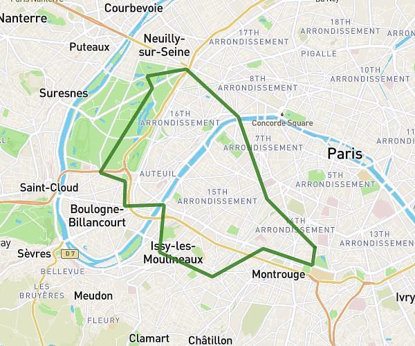
This cycling route covers 13.19mi starting from Bagneux, Hauts-de-Seine. The ride does not return to the trailhead and ends near Avenue Karl Marx, 94800 Villejuif. This route is rated as moderate, plan for about 17m to complete it. The route has an elevation gain of 197ft and an elevation loss of 138ft.
Piscine ville juif par chez morgann
Route details
149 kcal
Calories burned
0.5%
Avg grade
Point to point
Route type
197ft
Min altitude
374ft
Max altitude
Route profile
197ft
Elevation gain
138ft
Elevation loss
197ft
Min altitude
374ft
Max altitude
How to get there
Trailhead: Allée De La Paix, 92220 Bagneux
GPS coordinates of the trailhead: 48.79221, 2.3131 / 48°47'31'' N, 2°18'47'' E