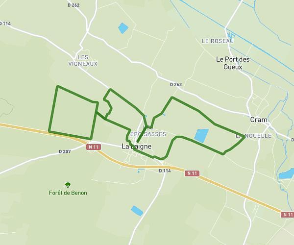
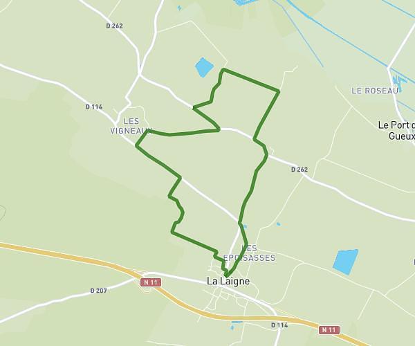
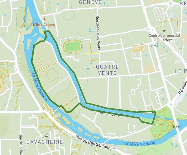
This running route covers 6.665mi starting from Niort, Deux-Sèvres. The run is a loop trail and returns to the trailhead. This run is rated as moderate, expect about 1h1m to complete it. The route has an elevation gain of 374ft and an elevation loss of 374ft.
Brizeaux - Surimeau
Route details
6.45mph
Speed
709 kcal
Calories burned
Loop trail
Route type
72ft
Min altitude
197ft
Max altitude
Route profile
374ft
Elevation gain
374ft
Elevation loss
72ft
Min altitude
197ft
Max altitude
How to get there
Trailhead: 68 Route Du Moulin À Vent, 79000 Niort, France
GPS coordinates of the trailhead: 46.33885, -0.43463 / 46°20'19'' N, 0°26'4'' W