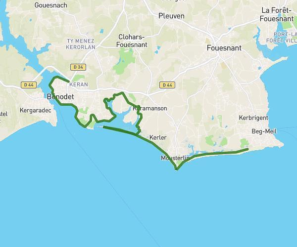
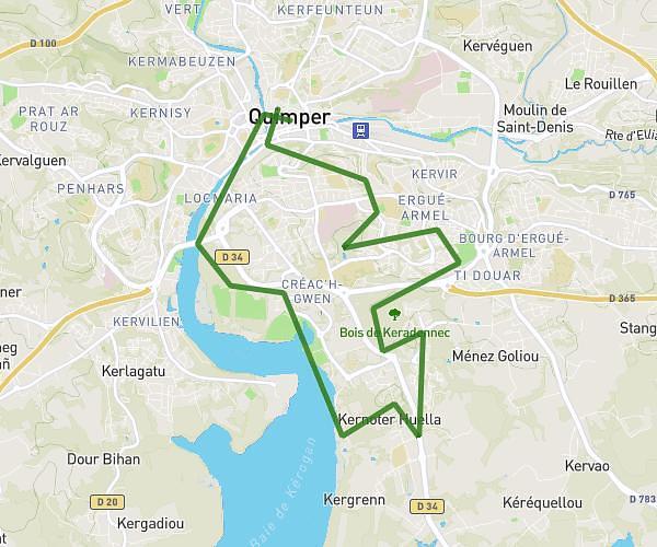
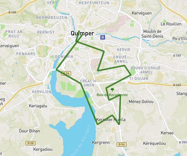
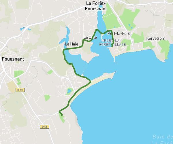
This running route covers 4.034mi starting from Penmarch, Finistère. The run is a loop trail and returns to the trailhead. This run is rated as easy, expect about 44m30s to complete it. The route has an elevation gain of 118ft and an elevation loss of 118ft.
Pen1
Route details
5.44mph
Speed
509 kcal
Calories burned
Loop trail
Route type
3ft
Min altitude
43ft
Max altitude
Route profile
118ft
Elevation gain
118ft
Elevation loss
3ft
Min altitude
43ft
Max altitude
How to get there
Trailhead: 62 Rue Des Alouettes, 29760 Penmarch, France
GPS coordinates of the trailhead: 47.80976, -4.33126 / 47°48'35'' N, 4°19'52'' W