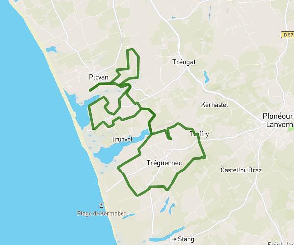
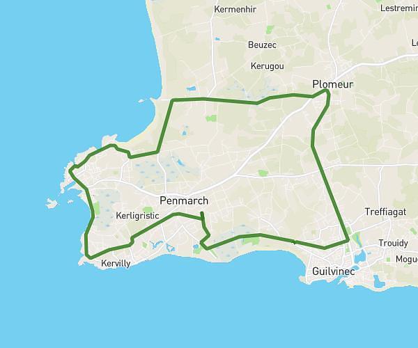
This cycling route covers 10.549mi starting from Penmarch, Finistère. The ride is a loop trail and returns to the trailhead. This route is rated as easy, plan for about 51m to complete it. The route has an elevation gain of 49ft and an elevation loss of 43ft.
Pen4
Route details
447 kcal
Calories burned
0.2%
Avg grade
Loop trail
Route type
3ft
Min altitude
49ft
Max altitude
Route profile
49ft
Elevation gain
43ft
Elevation loss
3ft
Min altitude
49ft
Max altitude
How to get there
Trailhead: 62 Rue Des Alouettes, 29760 Penmarch, France
GPS coordinates of the trailhead: 47.80955, -4.33122 / 47°48'34'' N, 4°19'52'' W