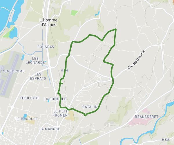
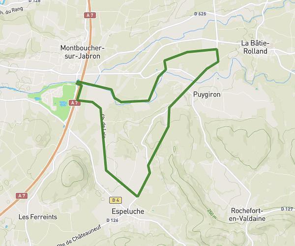
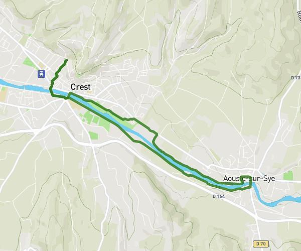
This running route covers 4.86mi starting from Crest, Drôme. The run does not return to the trailhead and ends near Chemin De La Raye, 26400 Cobonne. This run is rated as easy, expect about 3h54m to complete it. The route has an elevation gain of 1703ft and an elevation loss of 427ft.
Croix du Bezot
Route details
1.24mph
Speed
2682 kcal
Calories burned
Point to point
Route type
682ft
Min altitude
1959ft
Max altitude
Route profile
1703ft
Elevation gain
427ft
Elevation loss
682ft
Min altitude
1959ft
Max altitude
How to get there
Trailhead: Rue Sainte-Euphémie, 26400 Crest
GPS coordinates of the trailhead: 44.732, 5.02091 / 44°43'55'' N, 5°1'15'' E