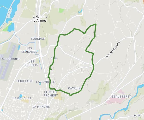
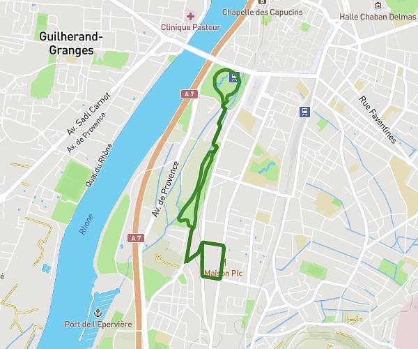
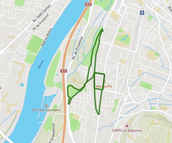
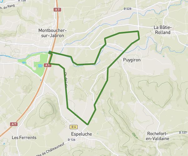
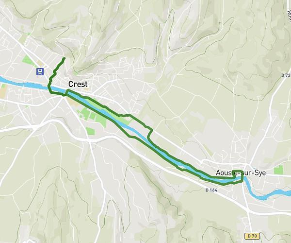
This running route covers 8.259mi starting from Crest, Drôme. The run is a loop trail and returns to the trailhead. This run is rated as hard, expect about 1h20m to complete it. The route has an elevation gain of 643ft and an elevation loss of 541ft.
Vaunavey la Rochette
Route details
6.2mph
Speed
915 kcal
Calories burned
Loop trail
Route type
607ft
Min altitude
1227ft
Max altitude
Route profile
643ft
Elevation gain
541ft
Elevation loss
607ft
Min altitude
1227ft
Max altitude
How to get there
Trailhead: Rue Sainte-Euphémie, 26400 Crest
GPS coordinates of the trailhead: 44.73198, 5.02085 / 44°43'55'' N, 5°1'15'' E