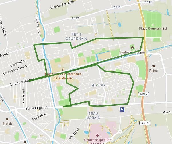
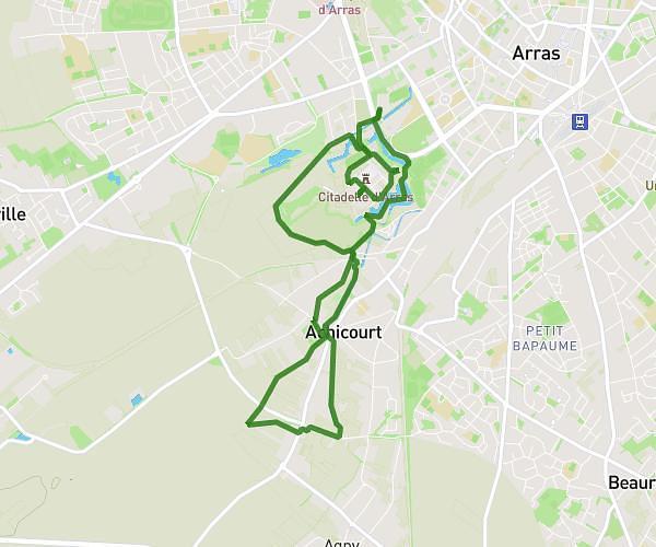
This walking route covers 20.366mi starting from Ambleteuse, Pas-de-Calais. The walk does not return to the trailhead and ends near 155b Avenue Raymond Poincaré, 62100 Calais, France. This walk is rated as strenuous, plan for about 7h17m to complete it. The route has an elevation gain of 879ft and an elevation loss of 988ft.
Maman
Route details
21:27/mi
Pace
1784 kcal
Calories burned
Point to point
Route type
0ft
Min altitude
371ft
Max altitude
Route profile
879ft
Elevation gain
988ft
Elevation loss
0ft
Min altitude
371ft
Max altitude
How to get there
Trailhead: 3 Résidence Des Pluviers Dorés, 62164 Ambleteuse, France
GPS coordinates of the trailhead: 50.81161, 1.61371 / 50°48'41'' N, 1°36'49'' E