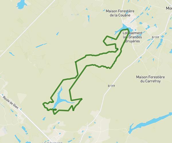
This running route covers 6.295mi starting from Nogent-sur-Vernisson, Loiret. The run is a loop trail and returns to the trailhead. This run is rated as moderate, expect about 1h to complete it. The route has an elevation gain of 43ft and an elevation loss of 39ft.
Parcours nigent
Route details
6.29mph
Speed
686 kcal
Calories burned
Loop trail
Route type
404ft
Min altitude
446ft
Max altitude
Route profile
43ft
Elevation gain
39ft
Elevation loss
404ft
Min altitude
446ft
Max altitude
How to get there
Trailhead: Rue Des Douglas, 45290 Nogent-sur-Vernisson
GPS coordinates of the trailhead: 47.82469, 2.7276 / 47°49'28'' N, 2°43'39'' E