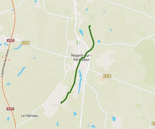
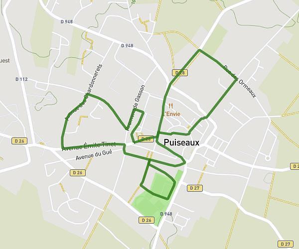
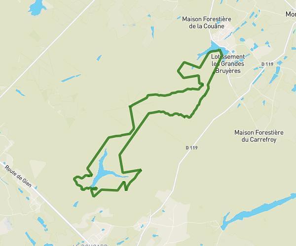
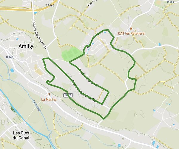
This running route covers 8.92mi starting from Cepoy, Loiret. The run does not return to the trailhead and ends near 402 Rue Des Fourneaux, 45700 Conflans-sur-Loing, France. This run is rated as hard, expect about 1h36m to complete it. The route has an elevation gain of 52ft and an elevation loss of 0ft.
anniv Marine
Route details
5.57mph
Speed
1098 kcal
Calories burned
Point to point
Route type
266ft
Min altitude
318ft
Max altitude
Route profile
52ft
Elevation gain
0ft
Elevation loss
266ft
Min altitude
318ft
Max altitude
How to get there
Trailhead: 14 Quai Des Pêcheurs, 45120 Cepoy, France
GPS coordinates of the trailhead: 48.044653, 2.738502 / 48°2'40'' N, 2°44'18'' E