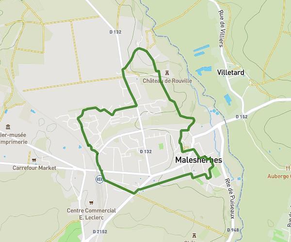
This running route covers 2.673mi starting from Puiseaux, Loiret. The run is a loop trail and returns to the trailhead. This run is rated as easy, expect about 30m to complete it. The route has an elevation gain of 16ft and an elevation loss of 3ft.
puiseautine 2025
Route details
5.34mph
Speed
343 kcal
Calories burned
Loop trail
Route type
302ft
Min altitude
315ft
Max altitude
Route profile
16ft
Elevation gain
3ft
Elevation loss
302ft
Min altitude
315ft
Max altitude
How to get there
Trailhead: 2 Place Du Martroi, 45390 Puiseaux, France
GPS coordinates of the trailhead: 48.20458, 2.47071 / 48°12'16'' N, 2°28'14'' E