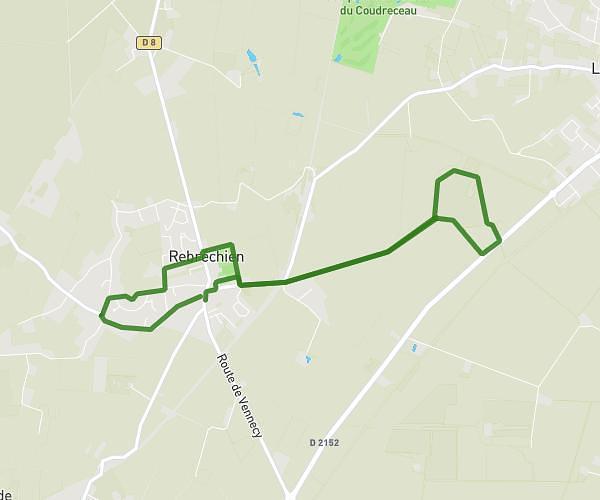
This running route covers 11.669mi starting from Chambon-la-Forêt, Loiret. The run is a loop trail and returns to the trailhead. This run is rated as strenuous, expect about 2h5m to complete it. The route has an elevation gain of 433ft and an elevation loss of 433ft.
Chambon la forêt 18.7k
Route details
5.6mph
Speed
1429 kcal
Calories burned
Loop trail
Route type
377ft
Min altitude
558ft
Max altitude
Route profile
433ft
Elevation gain
433ft
Elevation loss
377ft
Min altitude
558ft
Max altitude
How to get there
Trailhead: 12 Route De La Rive Du Bois, 45340 Chambon-la-Forêt, France
GPS coordinates of the trailhead: 48.064299, 2.285993 / 48°3'51'' N, 2°17'9'' E