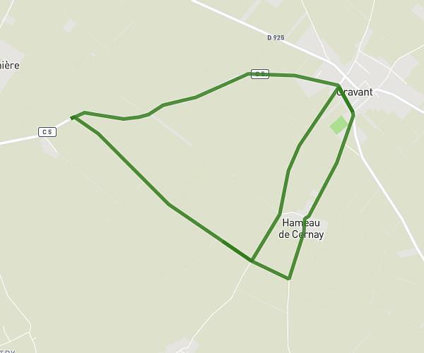
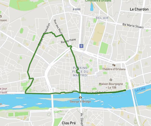
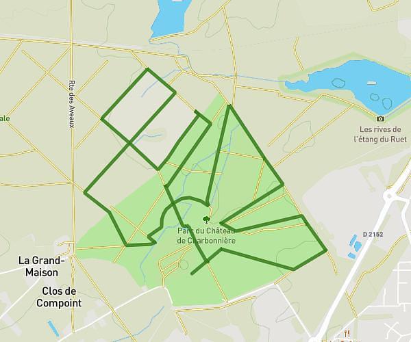
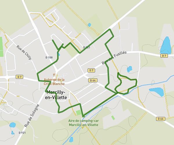
This running route covers 3.445mi starting from Orléans, Loiret. The run is a loop trail and returns to the trailhead. This run is rated as easy, expect about 35m33s to complete it. The route has an elevation gain of 16ft and an elevation loss of 13ft.
Allée des sapins FULL TOUR
Route details
5.82mph
Speed
406 kcal
Calories burned
Loop trail
Route type
354ft
Min altitude
367ft
Max altitude
Route profile
16ft
Elevation gain
13ft
Elevation loss
354ft
Min altitude
367ft
Max altitude
How to get there
Trailhead: Le Lion, 45100 Orléans, France
GPS coordinates of the trailhead: 47.81949, 1.92676 / 47°49'10'' N, 1°55'36'' E