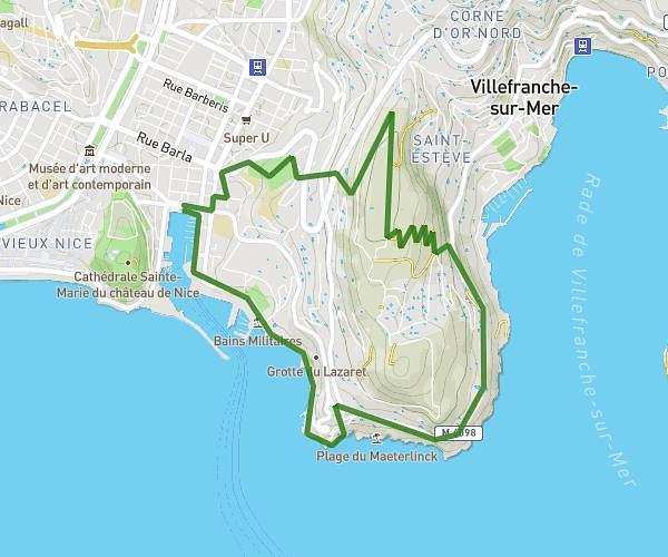
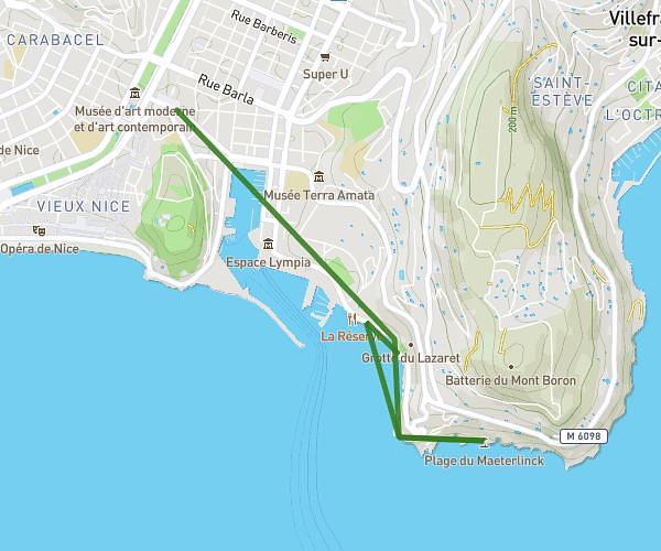
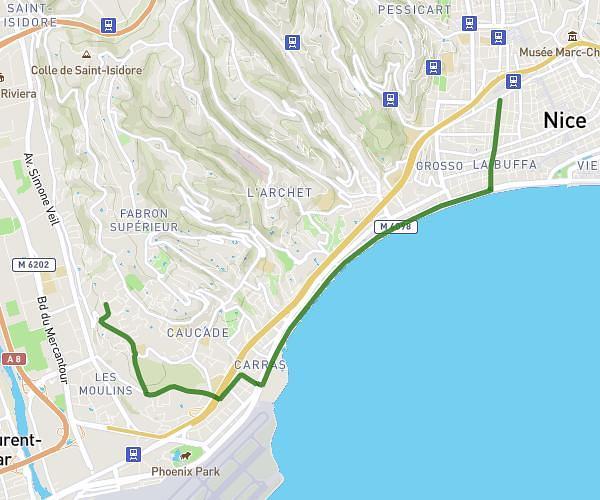
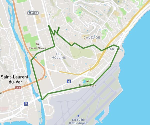
This running route covers 3.532mi starting from Nice, Alpes-Maritimes. The run is a loop trail and returns to the trailhead. This run is rated as easy, expect about 39m to complete it. The route has an elevation gain of 469ft and an elevation loss of 469ft.
cimiez 1
Route details
5.44mph
Speed
446 kcal
Calories burned
Loop trail
Route type
95ft
Min altitude
374ft
Max altitude
Route profile
469ft
Elevation gain
469ft
Elevation loss
95ft
Min altitude
374ft
Max altitude
How to get there
Trailhead: 17 Rue Cavendish, 06100 Nice, France
GPS coordinates of the trailhead: 43.71186, 7.25613 / 43°42'42'' N, 7°15'22'' E