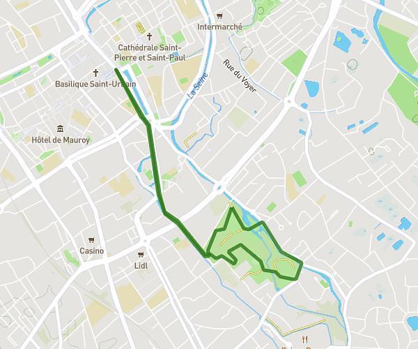
This running route covers 91.204mi starting from Vaucogne, Aube. The run does not return to the trailhead and ends near Route De Faverolles, 02600 Oigny-en-Valois. This run is rated as strenuous, expect about 14h to complete it. The route has an elevation gain of 164ft and an elevation loss of 312ft.
UUu
Route details
6.51mph
Speed
9604 kcal
Calories burned
Point to point
Route type
302ft
Min altitude
535ft
Max altitude
Route profile
164ft
Elevation gain
312ft
Elevation loss
302ft
Min altitude
535ft
Max altitude
How to get there
Trailhead: Rue De Ramerupt, 10240 Vaucogne
GPS coordinates of the trailhead: 48.54618, 4.35296 / 48°32'46'' N, 4°21'10'' E