MapPlanner
3.159mi
Distance
29m
Duration
9:11/mi
Pace
Easy
Level

Parcours 1 - 5km

Route details

6.54mph
Speed
332 kcal
Calories burned
Loop trail
Route type
344ft
Min altitude
354ft
Max altitude

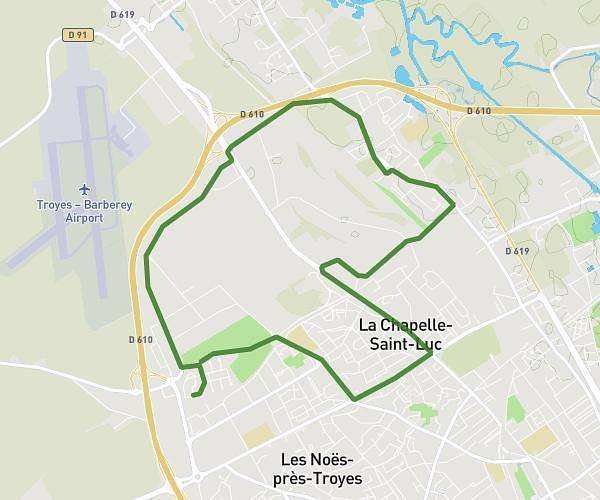
This running route covers 3.159mi starting from Troyes, Aube. The run is a loop trail and returns to the trailhead. This run is rated as easy, expect about 29m to complete it. The route has an elevation gain of 20ft and an elevation loss of 16ft.

Description of the route by the creator

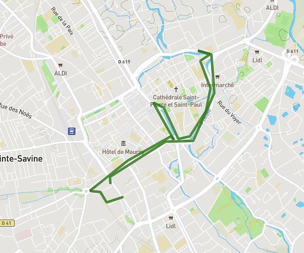
City center - Mills park 5km

(Description automatically translated)

Route profile

20ft
Elevation gain
16ft
Elevation loss
344ft
Min altitude
354ft
Max altitude

How to get there

Trailhead: Quai Du Comte Henri, 10000 Troyes, France

GPS coordinates of the trailhead: 48.29832, 4.07841 / 48°17'53'' N, 4°4'42'' E

Caution: May Cross Private Property

This route may pass through or near private property. Always respect posted signs, obtain permission where required, and follow local trespassing laws. MapPlanner does not guarantee public access along any route.

Safety Notice

Trail and road conditions may change without notice due to weather, construction, or other factors. Always verify current conditions before heading out. You are responsible for your own safety — follow local signage, obey traffic laws, and use your best judgment on the trail.