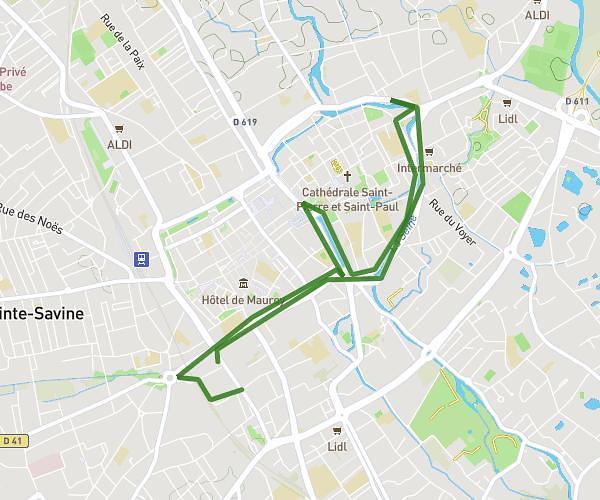
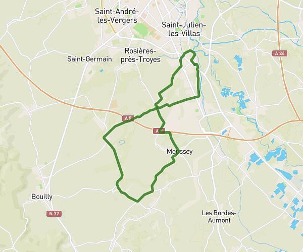
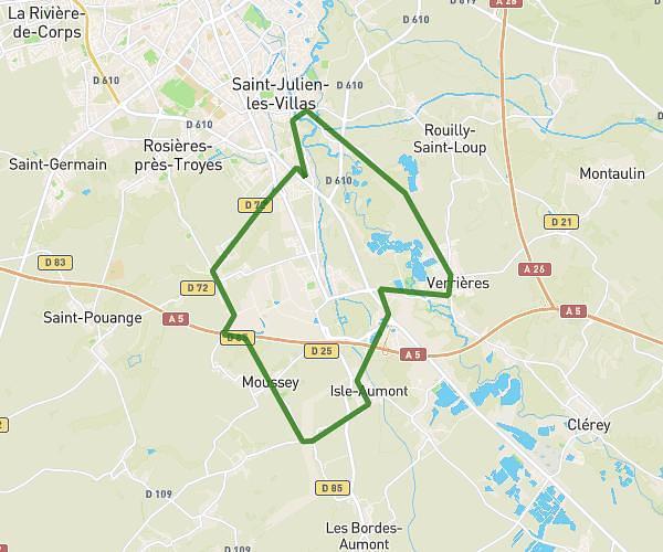
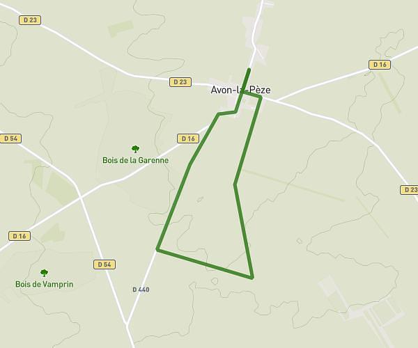
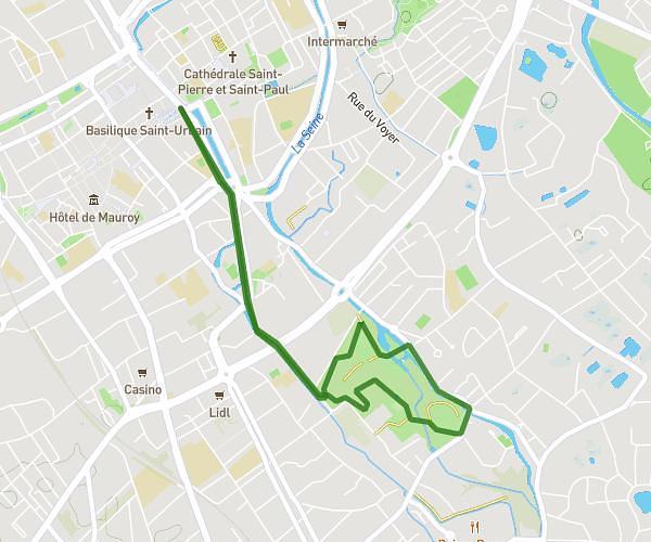
This running route covers 5.499mi starting from La Chapelle-Saint-Luc, Aube. The run does not return to the trailhead and ends near 1 Rue Des Myosotis, 10600 La Chapelle-Saint-Luc, France. This run is rated as moderate, expect about 57m31s to complete it. The route has an elevation gain of 220ft and an elevation loss of 223ft.
Run
Route details
5.74mph
Speed
658 kcal
Calories burned
Point to point
Route type
312ft
Min altitude
374ft
Max altitude
Route profile
220ft
Elevation gain
223ft
Elevation loss
312ft
Min altitude
374ft
Max altitude
How to get there
Trailhead: 38 Rue Des Pervenches, 10600 La Chapelle-Saint-Luc, France
GPS coordinates of the trailhead: 48.308108, 4.027078 / 48°18'29'' N, 4°1'37'' E