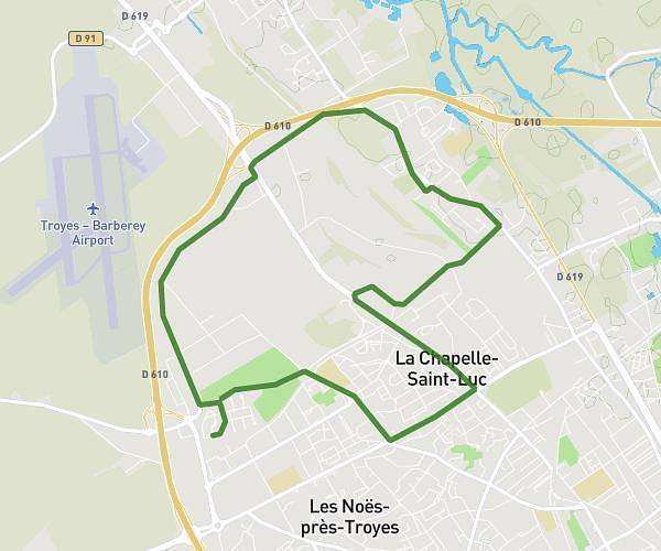
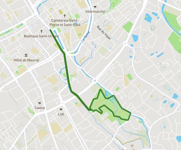
This running route covers 4.441mi starting from Avon-la-Pèze, Aube. The run is a loop trail and returns to the trailhead. This run is rated as easy, expect about 43m to complete it. The route has an elevation gain of 164ft and an elevation loss of 164ft.
08/08/2024
Route details
6.2mph
Speed
492 kcal
Calories burned
Loop trail
Route type
400ft
Min altitude
525ft
Max altitude
Route profile
164ft
Elevation gain
164ft
Elevation loss
400ft
Min altitude
525ft
Max altitude
How to get there
Trailhead: 12 Rue De L'europe, 10290 Avon-la-Pèze, France
GPS coordinates of the trailhead: 48.39161, 3.65558 / 48°23'29'' N, 3°39'20'' E