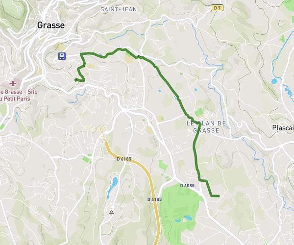
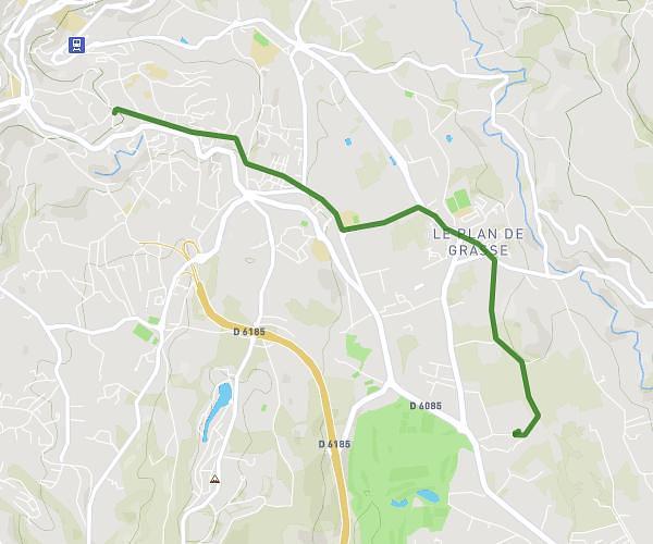
This cycling route covers 40.055mi starting from Nice, Alpes-Maritimes. The ride does not return to the trailhead and ends near D 54, 06440 Lucéram, France. This route is rated as strenuous, plan for about 4h15m to complete it. The route has an elevation gain of 3773ft and an elevation loss of 843ft.
Col de l orme
Route details
2285 kcal
Calories burned
2.2%
Avg grade
Point to point
Route type
1138ft
Min altitude
4190ft
Max altitude
Route profile
3773ft
Elevation gain
843ft
Elevation loss
1138ft
Min altitude
4190ft
Max altitude
How to get there
Trailhead: 12 Chemin De Rosemont, 06100 Nice, France
GPS coordinates of the trailhead: 43.7427, 7.26412 / 43°44'33'' N, 7°15'50'' E