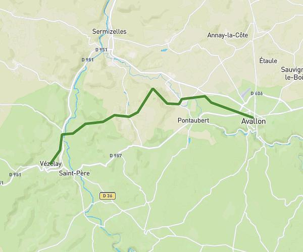
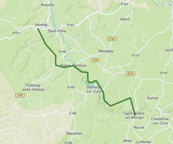
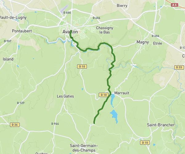
This hiking trail covers 8.174mi starting from Arcy-sur-Cure, Yonne. The hike does not return to the trailhead and ends near 134 Le Village, 89270 Bessy-sur-Cure, France. This hike is rated as hard, plan for about 3h30m to complete it. The route has an elevation gain of 951ft and an elevation loss of 1257ft.
JOUR 3
Route details
2.34mph
Speed
1524 kcal
Calories burned
5.1%
Avg grade
Point to point
Route type
400ft
Min altitude
781ft
Max altitude
Route profile
951ft
Elevation gain
1257ft
Elevation loss
400ft
Min altitude
781ft
Max altitude
How to get there
Trailhead: 547 Lac Sauvin, 89270 Arcy-sur-Cure, France
GPS coordinates of the trailhead: 47.55609, 3.74229 / 47°33'21'' N, 3°44'32'' E