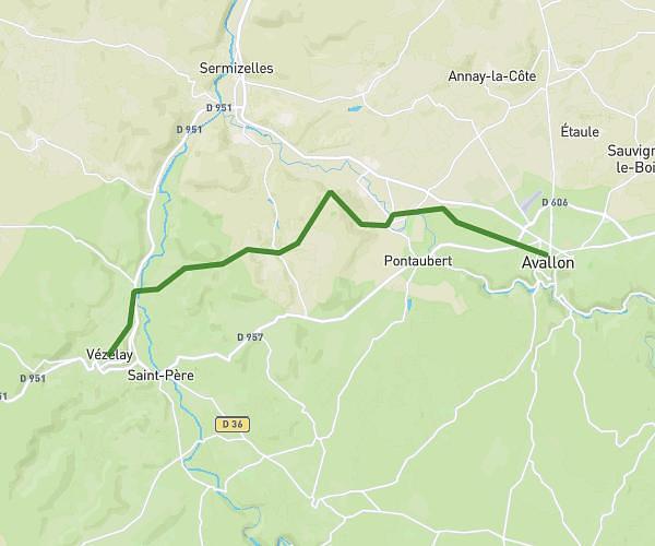
This hiking trail covers 14.218mi starting from Saint-Germain-des-Champs, Yonne. The hike does not return to the trailhead and ends near Route D'avallon, 58140 Saint-André-en-Morvan. This hike is rated as hard, plan for about 5h43m to complete it. The route has an elevation gain of 1060ft and an elevation loss of 846ft.
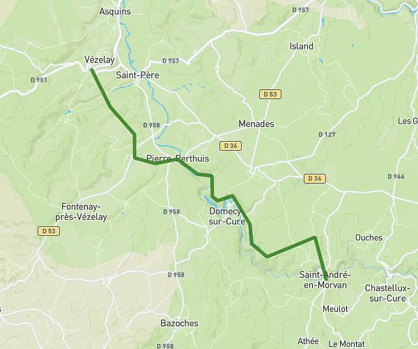
Etape 2
Route details
2.49mph
Speed
2459 kcal
Calories burned
2.5%
Avg grade
Point to point
Route type
938ft
Min altitude
1529ft
Max altitude
Route profile
1060ft
Elevation gain
846ft
Elevation loss
938ft
Min altitude
1529ft
Max altitude
How to get there
Trailhead: Route Du Morvan, 89630 Saint-Germain-des-Champs
GPS coordinates of the trailhead: 47.42765, 3.93073 / 47°25'39'' N, 3°55'50'' E