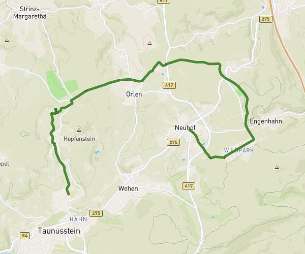
This running route covers 2.705mi starting from Taunusstein, Hesse. The run is a loop trail and returns to the trailhead. This run is rated as easy, expect about 34m45s to complete it. The route has an elevation gain of 272ft and an elevation loss of 272ft.
Limesrunde Sommer mit Kids
Route details
4.67mph
Speed
397 kcal
Calories burned
Loop trail
Route type
1503ft
Min altitude
1621ft
Max altitude
Route profile
272ft
Elevation gain
272ft
Elevation loss
1503ft
Min altitude
1621ft
Max altitude
How to get there
Trailhead: Niederhäuser Eisenstraße, 65232 Taunusstein, Germany
GPS coordinates of the trailhead: 50.19051, 8.202948 / 50°11'25'' N, 8°12'10'' E