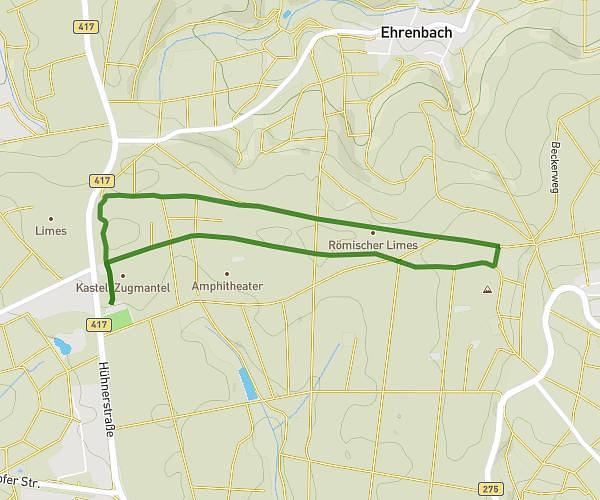
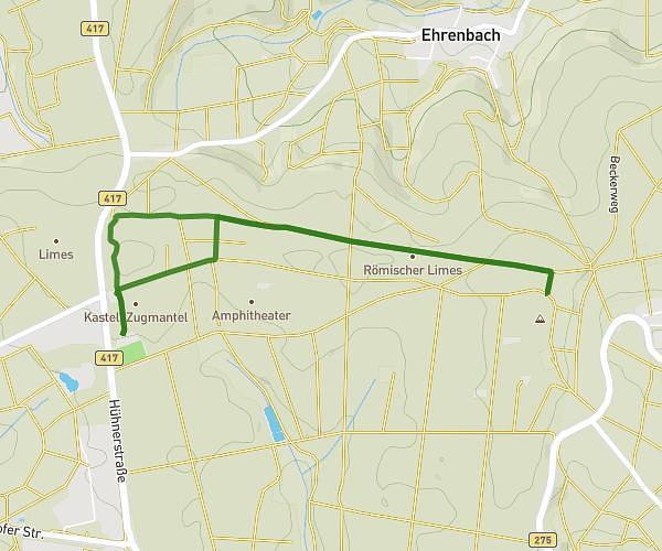
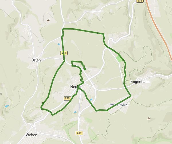
This running route covers 10.2mi starting from Taunusstein, Hesse. The run does not return to the trailhead and ends near Kantstraße 52, 65232 Taunusstein, Germany. This run is rated as hard, expect about 1h53m to complete it. The route has an elevation gain of 1125ft and an elevation loss of 1171ft.
Neuhof/Hambach/Hahn optional Neuhof Halbmaraton Trainingsrunde
Route details
5.41mph
Speed
1295 kcal
Calories burned
Point to point
Route type
1211ft
Min altitude
1699ft
Max altitude
Route profile
1125ft
Elevation gain
1171ft
Elevation loss
1211ft
Min altitude
1699ft
Max altitude
How to get there
Trailhead: Limburger Straße 55, 65232 Taunusstein, Germany
GPS coordinates of the trailhead: 50.170308, 8.212903 / 50°10'13'' N, 8°12'46'' E