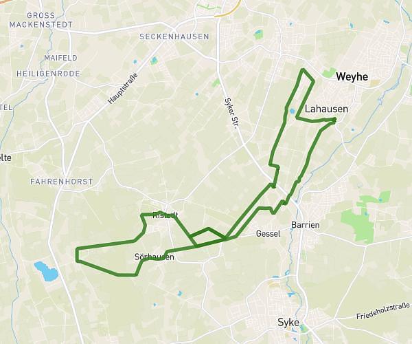
This hiking trail covers 14.685mi starting from Syke, Lower Saxony. The hike is a loop trail and returns to the trailhead. This hike is rated as moderate, plan for about 2h6m to complete it. The route has an elevation gain of 738ft and an elevation loss of 741ft.
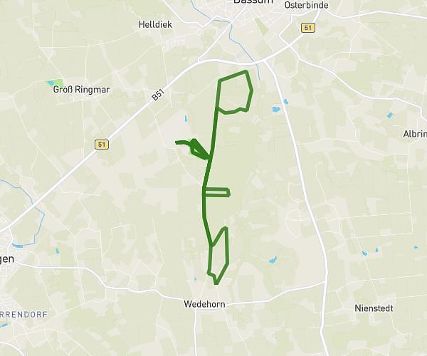
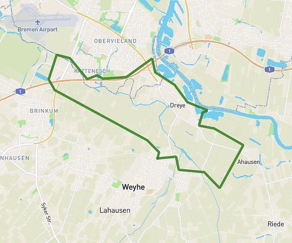
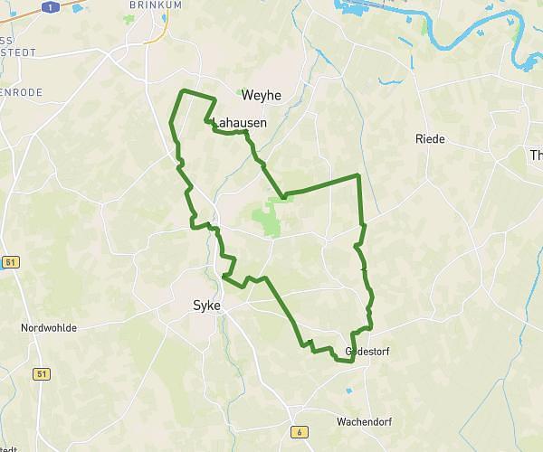
Wandern_2026_03_21_24km
Route details
6.99mph
Speed
896 kcal
Calories burned
1.9%
Avg grade
Loop trail
Route type
79ft
Min altitude
203ft
Max altitude
Route profile
738ft
Elevation gain
741ft
Elevation loss
79ft
Min altitude
203ft
Max altitude
How to get there
Trailhead: Zum Friedhof, 28857 Syke, Germany
GPS coordinates of the trailhead: 52.922846, 8.828116 / 52°55'22'' N, 8°49'41'' E