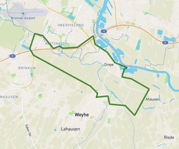
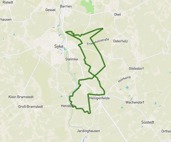
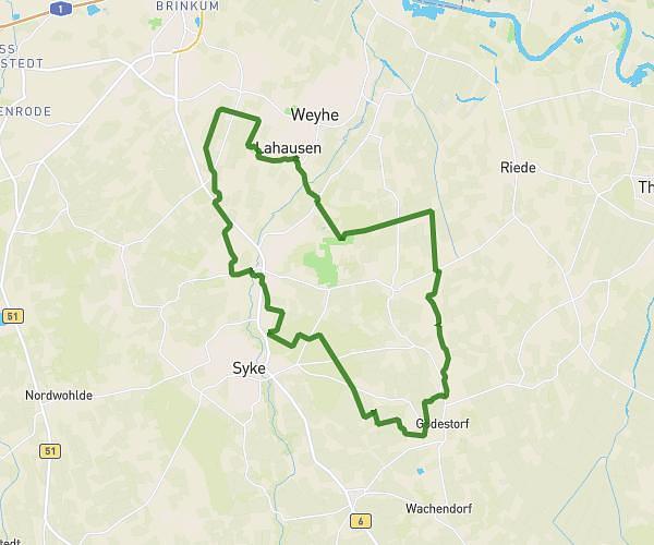
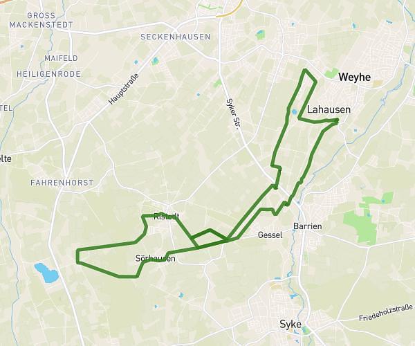
This hiking trail covers 13.286mi starting from Bassum, Lower Saxony. The hike is a loop trail and returns to the trailhead. This hike is rated as moderate, plan for about 5h20m to complete it. The route has an elevation gain of 827ft and an elevation loss of 827ft.
Wandern_2026_04_19_21km
Route details
2.49mph
Speed
2289 kcal
Calories burned
2.4%
Avg grade
Loop trail
Route type
115ft
Min altitude
243ft
Max altitude
Route profile
827ft
Elevation gain
827ft
Elevation loss
115ft
Min altitude
243ft
Max altitude
How to get there
Trailhead: Klövenhausen, 27211 Bassum, Germany
GPS coordinates of the trailhead: 52.818235, 8.714504 / 52°49'5'' N, 8°42'52'' E