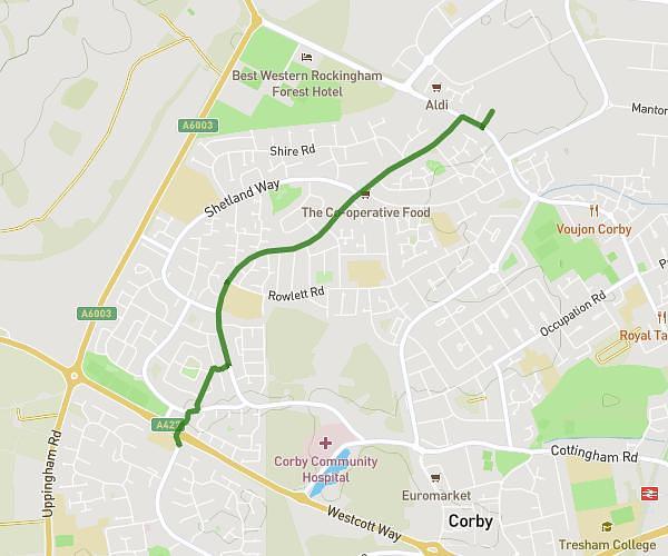
This running route covers 1.307mi starting from Corby, England. The run does not return to the trailhead and ends near Dale Street, NN17 2BQ Corby. This run is rated as easy, expect about 25m to complete it. The route has an elevation gain of 20ft and an elevation loss of 39ft.
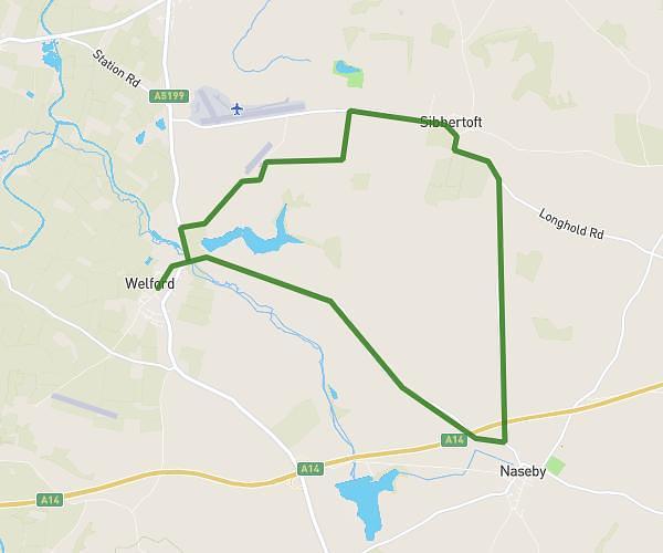
Day 3
Route details
3.14mph
Speed
286 kcal
Calories burned
Point to point
Route type
381ft
Min altitude
420ft
Max altitude
Route profile
20ft
Elevation gain
39ft
Elevation loss
381ft
Min altitude
420ft
Max altitude
How to get there
Trailhead: Hooke Close, NN17 2AP Corby
GPS coordinates of the trailhead: 52.50633, -0.69927 / 52°30'22'' N, 0°41'57'' W