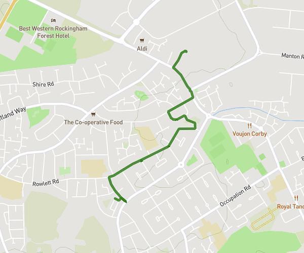
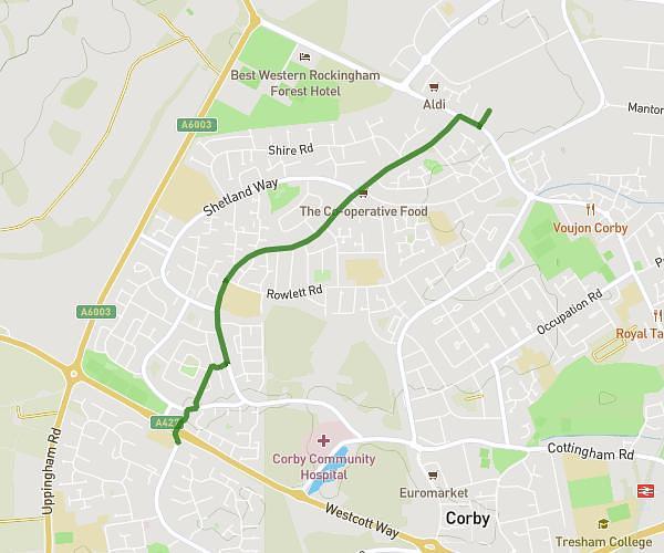
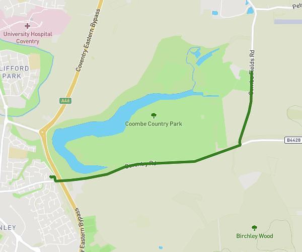
This running route covers 9.491mi starting from Northampton, England. The run does not return to the trailhead and ends near Welford Road, Northampton, LE17 6JX, United Kingdom. This run is rated as hard, expect about 1h42m to complete it. The route has an elevation gain of 128ft and an elevation loss of 95ft.
A bit further than last time!
Route details
5.58mph
Speed
1166 kcal
Calories burned
Point to point
Route type
436ft
Min altitude
564ft
Max altitude
Route profile
128ft
Elevation gain
95ft
Elevation loss
436ft
Min altitude
564ft
Max altitude
How to get there
Trailhead: 1 West Street, Northampton, NN6 6HU, United Kingdom
GPS coordinates of the trailhead: 52.417995, -1.059005 / 52°25'4'' N, 1°3'32'' W