MapPlanner
5.819mi
Distance
1h2m
Duration
10:44/mi
Pace
Moderate
Level

Huysburg - Ströbeck

Route details

5.59mph
Speed
714 kcal
Calories burned
Point to point
Route type
476ft
Min altitude
997ft
Max altitude

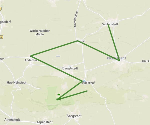
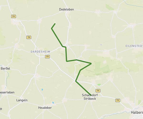
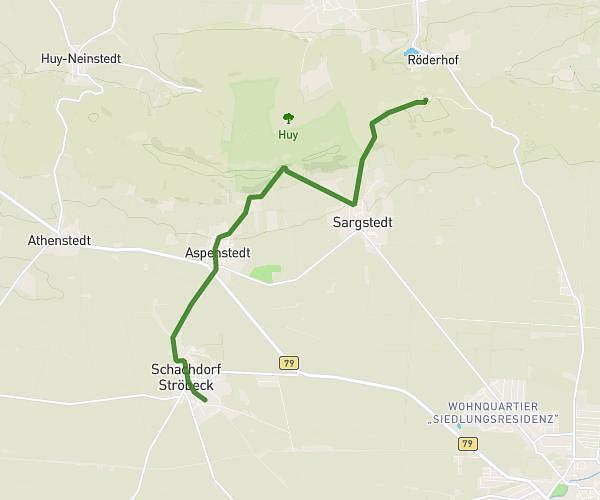
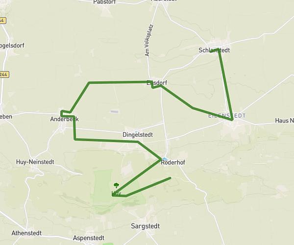
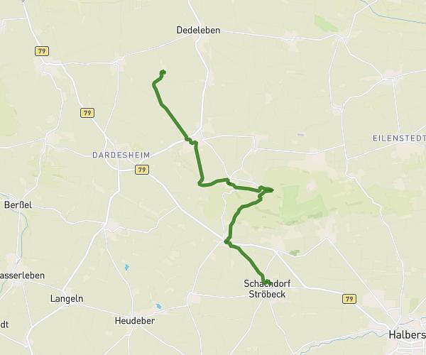
This running route covers 5.819mi starting from Huy, Saxony-Anhalt. The run does not return to the trailhead and ends near Untere Dorfstraße 287, 38822 Halberstadt, Germany. This run is rated as moderate, expect about 1h2m to complete it. The route has an elevation gain of 10ft and an elevation loss of 531ft.

Description of the route by the creator

Running, relay and walking course

(Description automatically translated)

Route profile

10ft
Elevation gain
531ft
Elevation loss
476ft
Min altitude
997ft
Max altitude

How to get there

Trailhead: Zur Huysburg 1, 38838 Huy, Germany

GPS coordinates of the trailhead: 51.95962, 11.002982 / 51°57'34'' N, 11°0'10'' E

Caution: May Cross Private Property

This route may pass through or near private property. Always respect posted signs, obtain permission where required, and follow local trespassing laws. MapPlanner does not guarantee public access along any route.

Safety Notice

Trail and road conditions may change without notice due to weather, construction, or other factors. Always verify current conditions before heading out. You are responsible for your own safety — follow local signage, obey traffic laws, and use your best judgment on the trail.