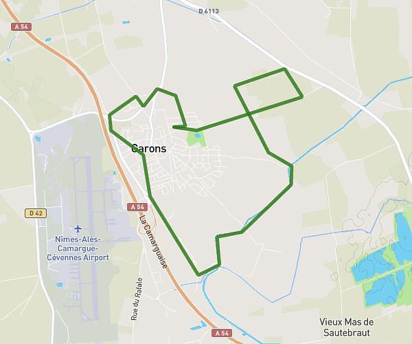
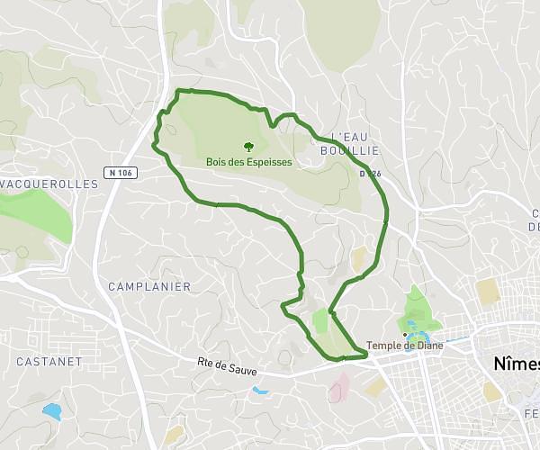
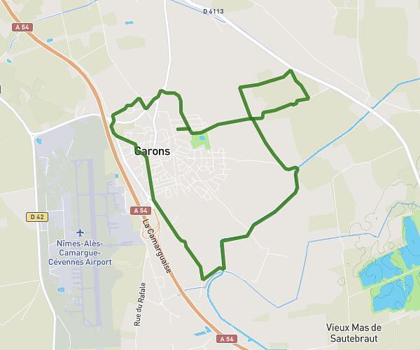
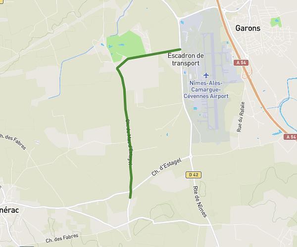
This running route covers 8.344mi starting from Nîmes, Gard. The run is a loop trail and returns to the trailhead. This run is rated as hard, expect about 1h15m to complete it. The route has an elevation gain of 125ft and an elevation loss of 85ft.
Footing Nîmes
Route details
6.67mph
Speed
858 kcal
Calories burned
Loop trail
Route type
138ft
Min altitude
259ft
Max altitude
Route profile
125ft
Elevation gain
85ft
Elevation loss
138ft
Min altitude
259ft
Max altitude
How to get there
Trailhead: 31 Chemin Du Belvédère, 30900 Nîmes, France
GPS coordinates of the trailhead: 43.83276, 4.33709 / 43°49'57'' N, 4°20'13'' E