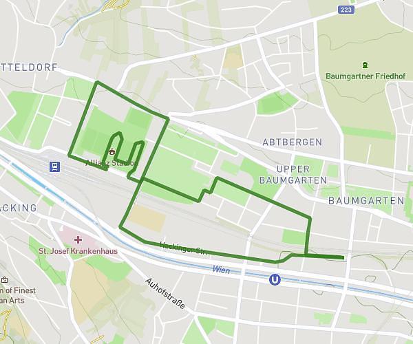
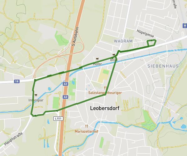
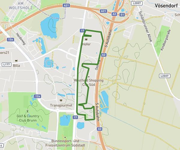
This running route covers 5.617mi starting from Bad Vöslau, Lower Austria. The run does not return to the trailhead and ends near Alte Gasse 6, 2552 Hirtenberg, Austria. This run is rated as moderate, expect about 1h to complete it. The route has an elevation gain of 574ft and an elevation loss of 482ft.
Vöslau - Hirtenberg
Route details
5.62mph
Speed
686 kcal
Calories burned
Point to point
Route type
833ft
Min altitude
1132ft
Max altitude
Route profile
574ft
Elevation gain
482ft
Elevation loss
833ft
Min altitude
1132ft
Max altitude
How to get there
Trailhead: Schlumbergerstraße 2, 2540 Bad Vöslau, Austria
GPS coordinates of the trailhead: 47.969859, 16.213611 / 47°58'11'' N, 16°12'48'' E