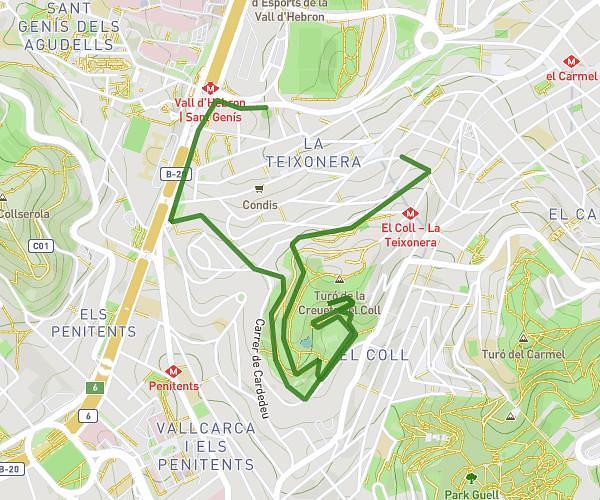
This walking route covers 2.806mi starting from Barcelona, Barcelona. The walk does not return to the trailhead and ends near Carrer Del Pintor Gimeno 12, 08022 Barcelona, Barcelona, Spain. This walk is rated as easy, plan for about 54m11s to complete it. The route has an elevation gain of 446ft and an elevation loss of 433ft.
paseo Parque de las rosas
Route details
19:19/mi
Pace
221 kcal
Calories burned
Point to point
Route type
220ft
Min altitude
410ft
Max altitude
Route profile
446ft
Elevation gain
433ft
Elevation loss
220ft
Min altitude
410ft
Max altitude
How to get there
Trailhead: Avinguda Diagonal 712, 08034 Barcelona, Barcelona, Spain
GPS coordinates of the trailhead: 41.3843, 2.10583 / 41°23'3'' N, 2°6'20'' E