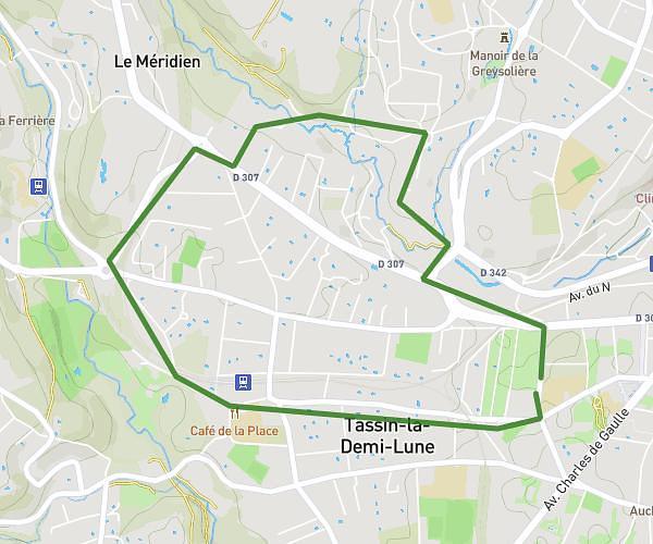
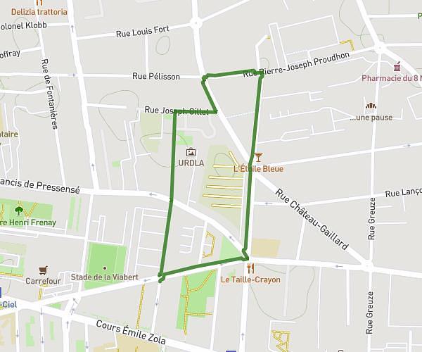
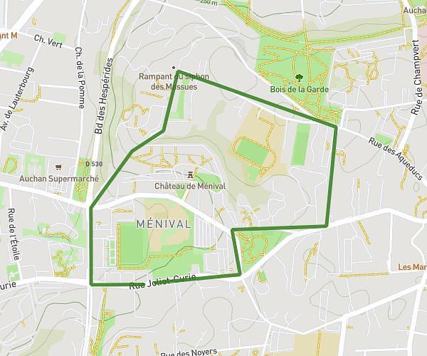
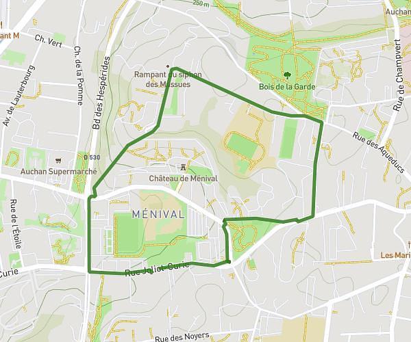
Explore this running route of 12,399mi starting from Villeurbanne, Rhône. The run is a loop and returns to the starting point. This run has no defined difficulty level, expect about 1h50m to complete it.
Les 2 parcs
Route details
How to get there
Route starting point: 41 Rue Gervais Bussière, 69100 Villeurbanne, France
GPS coordinates of the starting point: 45.77328, 4.86976 / 45°46'23'' N, 4°52'11'' E


