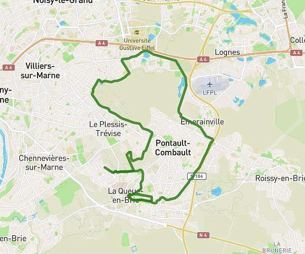
This running route covers 5.036mi starting from Saint-Maur-des-Fossés, Val-de-Marne. The run does not return to the trailhead and ends near 2 Avenue Du Lieutenant Chauré, 94100 Saint-Maur-des-Fossés, France. This run is rated as moderate, expect about 54m to complete it. The route has an elevation gain of 20ft and an elevation loss of 56ft.
8 km
Route details
5.6mph
Speed
617 kcal
Calories burned
Point to point
Route type
115ft
Min altitude
171ft
Max altitude
Route profile
20ft
Elevation gain
56ft
Elevation loss
115ft
Min altitude
171ft
Max altitude
How to get there
Trailhead: 18 Place Des Marronniers, 94100 Saint-Maur-des-Fossés, France
GPS coordinates of the trailhead: 48.80466, 2.49694 / 48°48'16'' N, 2°29'48'' E