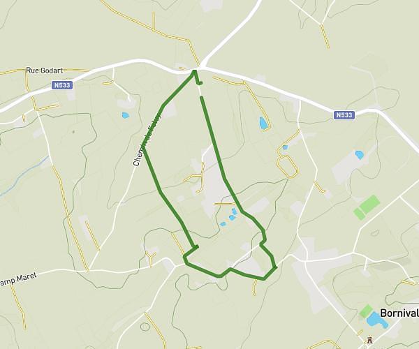
This walking route covers 2.527mi starting from Soignies, Hainaut. The walk is a loop trail and returns to the trailhead. This walk is rated as easy, plan for about 30m to complete it. The route has an elevation gain of 125ft and an elevation loss of 125ft.
Course du coeur
Route details
11:53/mi
Pace
123 kcal
Calories burned
Loop trail
Route type
259ft
Min altitude
299ft
Max altitude
Route profile
125ft
Elevation gain
125ft
Elevation loss
259ft
Min altitude
299ft
Max altitude
How to get there
Trailhead: Rue De Cognebeau, 7060 Soignies
GPS coordinates of the trailhead: 50.57831, 4.06574 / 50°34'41'' N, 4°3'56'' E