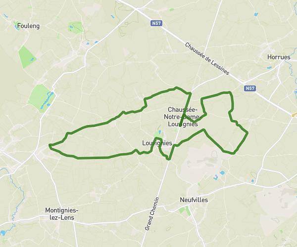
This walking route covers 8.784mi starting from Soignies, Hainaut. The walk is a loop trail and returns to the trailhead. This walk is rated as strenuous, plan for about 3h33m to complete it. The route has an elevation gain of 397ft and an elevation loss of 397ft.
15 km chaussée 2025
Route details
24:16/mi
Pace
870 kcal
Calories burned
Loop trail
Route type
226ft
Min altitude
325ft
Max altitude
Route profile
397ft
Elevation gain
397ft
Elevation loss
226ft
Min altitude
325ft
Max altitude
How to get there
Trailhead: Rue Joseph Quintart 131, 7063 Soignies, Hainaut, Belgium
GPS coordinates of the trailhead: 50.58964, 3.9968 / 50°35'22'' N, 3°59'48'' E