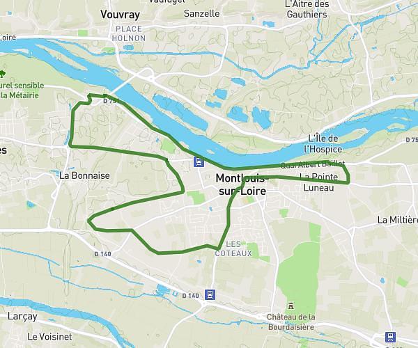
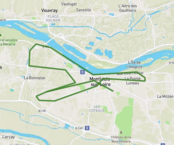
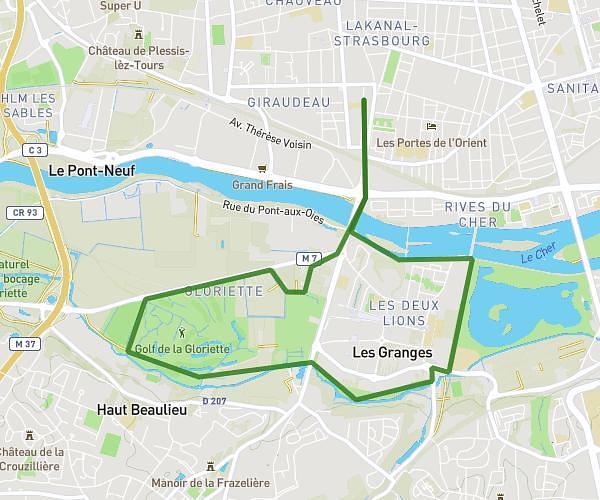
This running route covers 11.205mi starting from Saint-Avertin, Indre-et-Loire. The run is a loop trail and returns to the trailhead. This run is rated as strenuous, expect about 2h13s to complete it. The route has an elevation gain of 492ft and an elevation loss of 492ft.
Nona
Route details
5.59mph
Speed
1374 kcal
Calories burned
Loop trail
Route type
253ft
Min altitude
322ft
Max altitude
Route profile
492ft
Elevation gain
492ft
Elevation loss
253ft
Min altitude
322ft
Max altitude
How to get there
Trailhead: 20 Rue Jules Romains, 37550 Saint-Avertin, France
GPS coordinates of the trailhead: 47.356254, 0.722574 / 47°21'22'' N, 0°43'21'' E