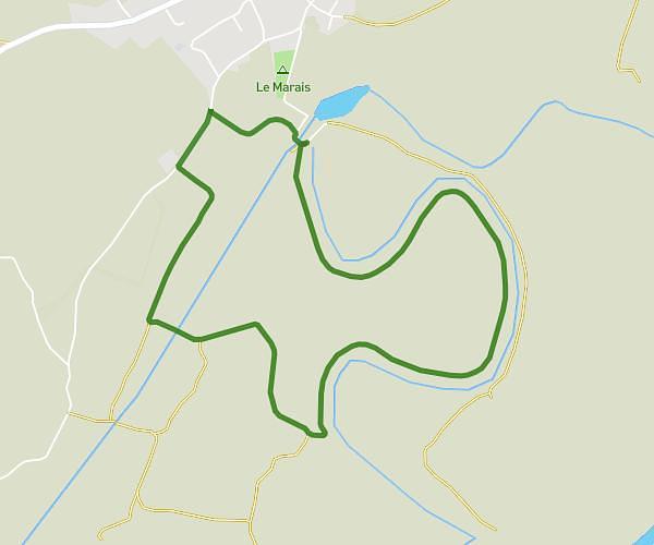
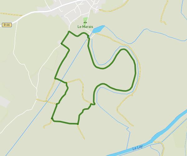
This walking route covers 0.948mi starting from Le Girouard, Vendée. The walk is a loop trail and returns to the trailhead. This walk is rated as easy, plan for about 19m to complete it. The route has an elevation gain of 75ft and an elevation loss of 79ft.
Essai 1
Cul d'âne
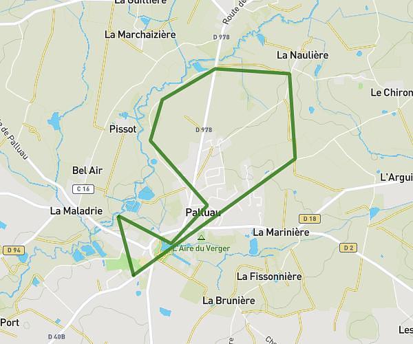
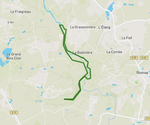
Route details
20:02/mi
Pace
78 kcal
Calories burned
Loop trail
Route type
95ft
Min altitude
154ft
Max altitude
Route profile
75ft
Elevation gain
79ft
Elevation loss
95ft
Min altitude
154ft
Max altitude
How to get there
Trailhead: Rue Des Saules, 85150 Le Girouard
GPS coordinates of the trailhead: 46.56503, -1.59581 / 46°33'54'' N, 1°35'44'' W