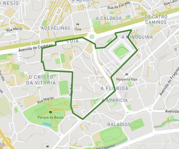
This running route covers 2.642mi starting from Vigo, Pontevedra. The run does not return to the trailhead and ends near Rúa De Canido 52, 36390 Vigo, Pontevedra, Spain. This run is rated as easy, expect about 40m to complete it. The route has an elevation gain of 23ft and an elevation loss of 49ft.
EF INES
Route details
3.96mph
Speed
457 kcal
Calories burned
Point to point
Route type
13ft
Min altitude
43ft
Max altitude
Route profile
23ft
Elevation gain
49ft
Elevation loss
13ft
Min altitude
43ft
Max altitude
How to get there
Trailhead: Rúa Do Xuncal 32, 36212 Vigo, Pontevedra, Spain
GPS coordinates of the trailhead: 42.206, -8.76269 / 42°12'21'' N, 8°45'45'' W