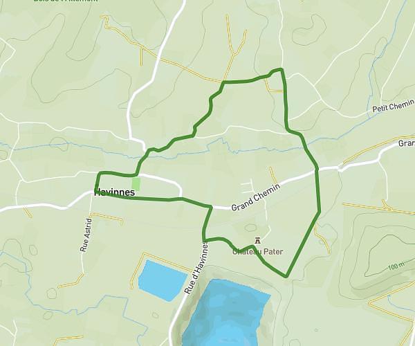
This hiking trail covers 1.529mi starting from Chièvres, Hainaut. The hike is a loop trail and returns to the trailhead. This hike is rated as easy, plan for about 24m36s to complete it. The route has an elevation gain of 85ft and an elevation loss of 85ft.
Piedsentes3 2.46
Route details
3.73mph
Speed
175 kcal
Calories burned
2.1%
Avg grade
Loop trail
Route type
167ft
Min altitude
197ft
Max altitude
Route profile
85ft
Elevation gain
85ft
Elevation loss
167ft
Min altitude
197ft
Max altitude
How to get there
Trailhead: Rue Joseph Lizon 32, 7950 Chièvres, Hainaut, Belgium
GPS coordinates of the trailhead: 50.56817, 3.74724 / 50°34'5'' N, 3°44'50'' E