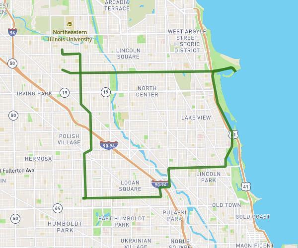
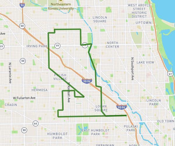
This cycling route covers 13.558mi starting from Chicago, Illinois. The ride does not return to the trailhead and ends near 4345 North Hamlin Avenue, Chicago, Illinois 60618, United States. This route is rated as easy, plan for about 2h to complete it. The route has an elevation gain of 30ft and an elevation loss of 26ft.
nightride
Route details
1051 kcal
Calories burned
0.1%
Avg grade
Point to point
Route type
594ft
Min altitude
620ft
Max altitude
Route profile
30ft
Elevation gain
26ft
Elevation loss
594ft
Min altitude
620ft
Max altitude
How to get there
Trailhead: 3742 West Sunnyside Avenue, Chicago, Illinois 60625, United States
GPS coordinates of the trailhead: 41.96294, -87.72218 / 41°57'46'' N, 87°43'19'' W