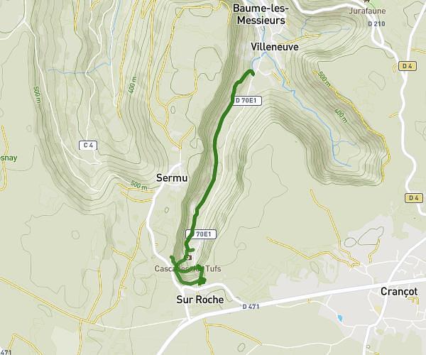
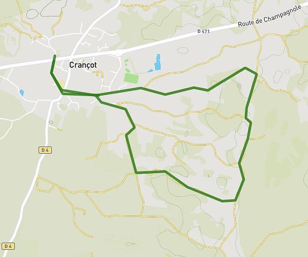
This hiking trail covers 3.142mi starting from Les Planches-en-Montagne, Jura. The hike does not return to the trailhead and ends near Chez Toine, 39460 Foncine-le-Haut. This hike is rated as moderate, plan for about 1h41m to complete it. The route has an elevation gain of 1230ft and an elevation loss of 308ft.
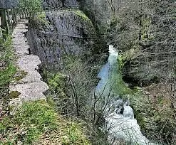
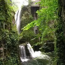
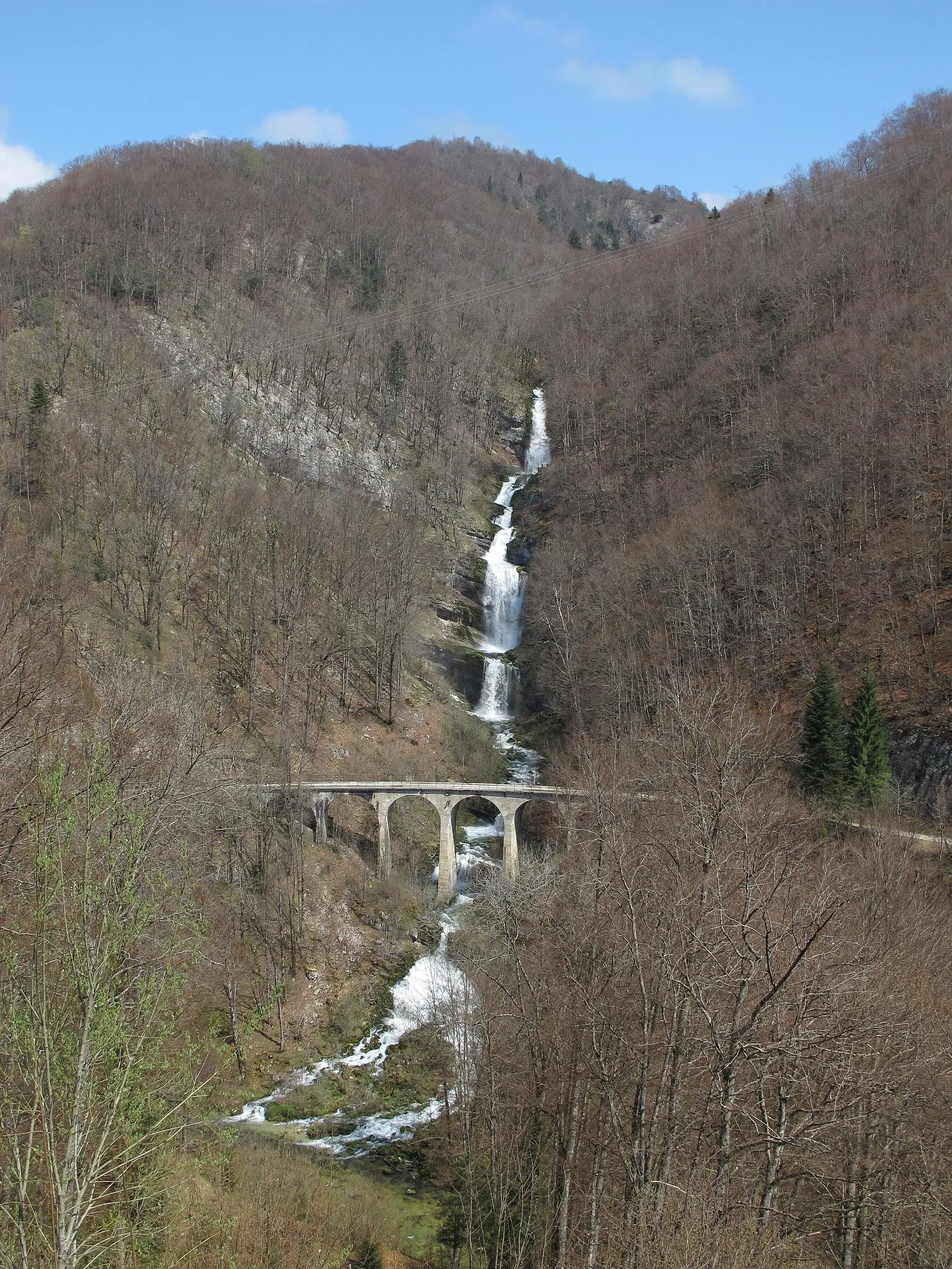
Cascades d'entre-côtes
Route details
1.86mph
Speed
795 kcal
Calories burned
9.3%
Avg grade
Point to point
Route type
2283ft
Min altitude
3215ft
Max altitude
Steep climb
Route profile
1230ft
Elevation gain
308ft
Elevation loss
2283ft
Min altitude
3215ft
Max altitude
How to get there
Trailhead: D 127 E1, 39150 Les Planches-en-Montagne
GPS coordinates of the trailhead: 46.65593, 6.00545 / 46°39'21'' N, 6°0'19'' E