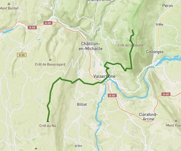
Explore this hiking route of 6.76km starting from Confort, Ain. The hike is a loop and returns to the starting point. This hike has no defined difficulty level, plan for about 2h15m to complete it. The route has a positive elevation gain of 331m and a negative elevation loss of 331m.
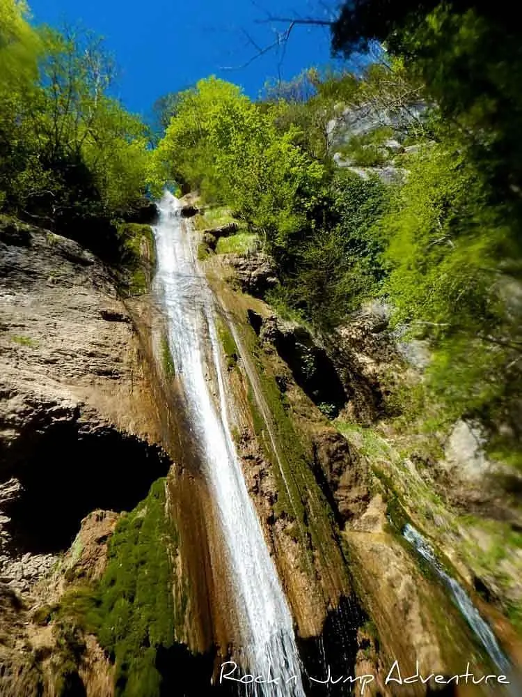
Cascades de Confort et Sandezanne
Route details
Route profile
331m
Elevation +
331m
Elevation -
389m
Min altitude
546m
Max altitude
How to get there
Route starting point: D 14a, 01200 Confort
GPS coordinates of the starting point: 46.16566, 5.81225 / 46°9'56'' N, 5°48'44'' E
Calculate the time to reach the starting point from your location or an address