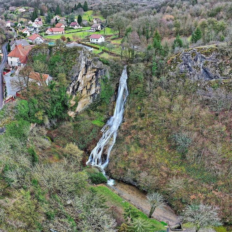
This hiking trail covers 2.568mi starting from Nans-sous-Sainte-Anne, Doubs. The hike does not return to the trailhead and ends near D 103, 25330 Nans-sous-Sainte-Anne. This hike is rated as moderate, plan for about 1h22m to complete it. The route has an elevation gain of 1526ft and an elevation loss of 1096ft.
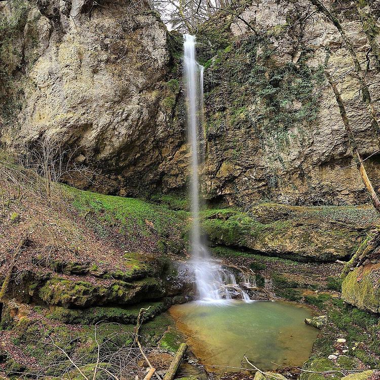
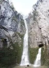
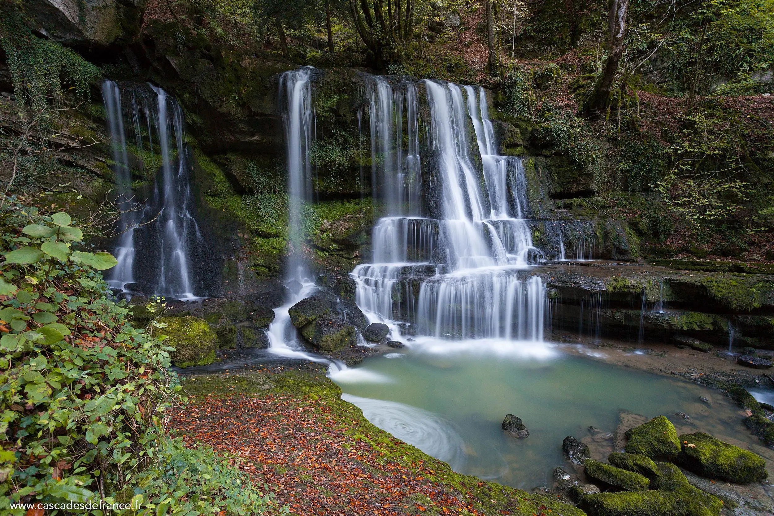
Cascades de Nans-sous-Saint-Anne
Route details
1.86mph
Speed
687 kcal
Calories burned
19.3%
Avg grade
Point to point
Route type
1188ft
Min altitude
1772ft
Max altitude
Steep climb
Route profile
1526ft
Elevation gain
1096ft
Elevation loss
1188ft
Min altitude
1772ft
Max altitude
How to get there
Trailhead: Grande Rue, 25330 Nans-sous-Sainte-Anne
GPS coordinates of the trailhead: 46.97747, 5.99991 / 46°58'38'' N, 5°59'59'' E