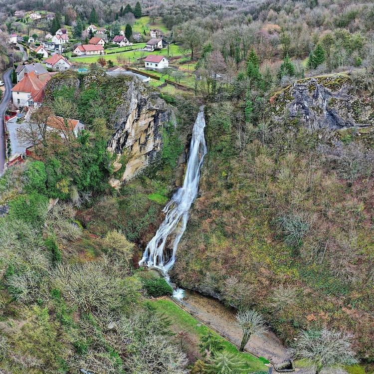
This hiking trail covers 1.125mi starting from Bolandoz, Doubs. The hike does not return to the trailhead and ends near 25330 Bolandoz. This hike is rated as easy, plan for about 36m13s to complete it. The route has an elevation gain of 364ft and an elevation loss of 289ft.
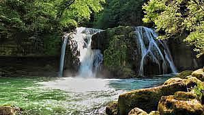
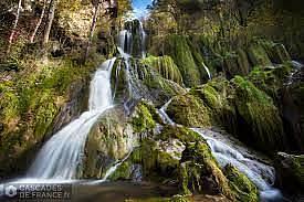
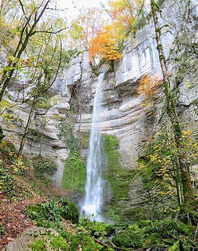
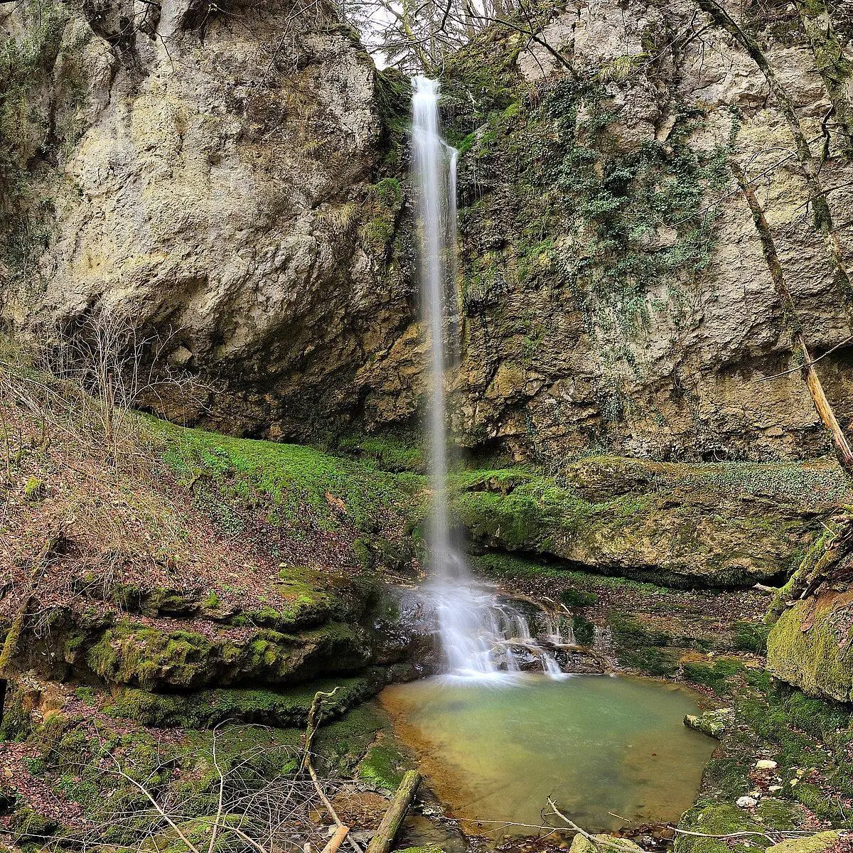
Cascades de Rochanon
Route details
1.86mph
Speed
279 kcal
Calories burned
11.0%
Avg grade
Point to point
Route type
2228ft
Min altitude
2470ft
Max altitude
Steep climb
Route profile
364ft
Elevation gain
289ft
Elevation loss
2228ft
Min altitude
2470ft
Max altitude
How to get there
Trailhead: 25330 Bolandoz
GPS coordinates of the trailhead: 47.00368, 6.09897 / 47°0'13'' N, 6°5'56'' E