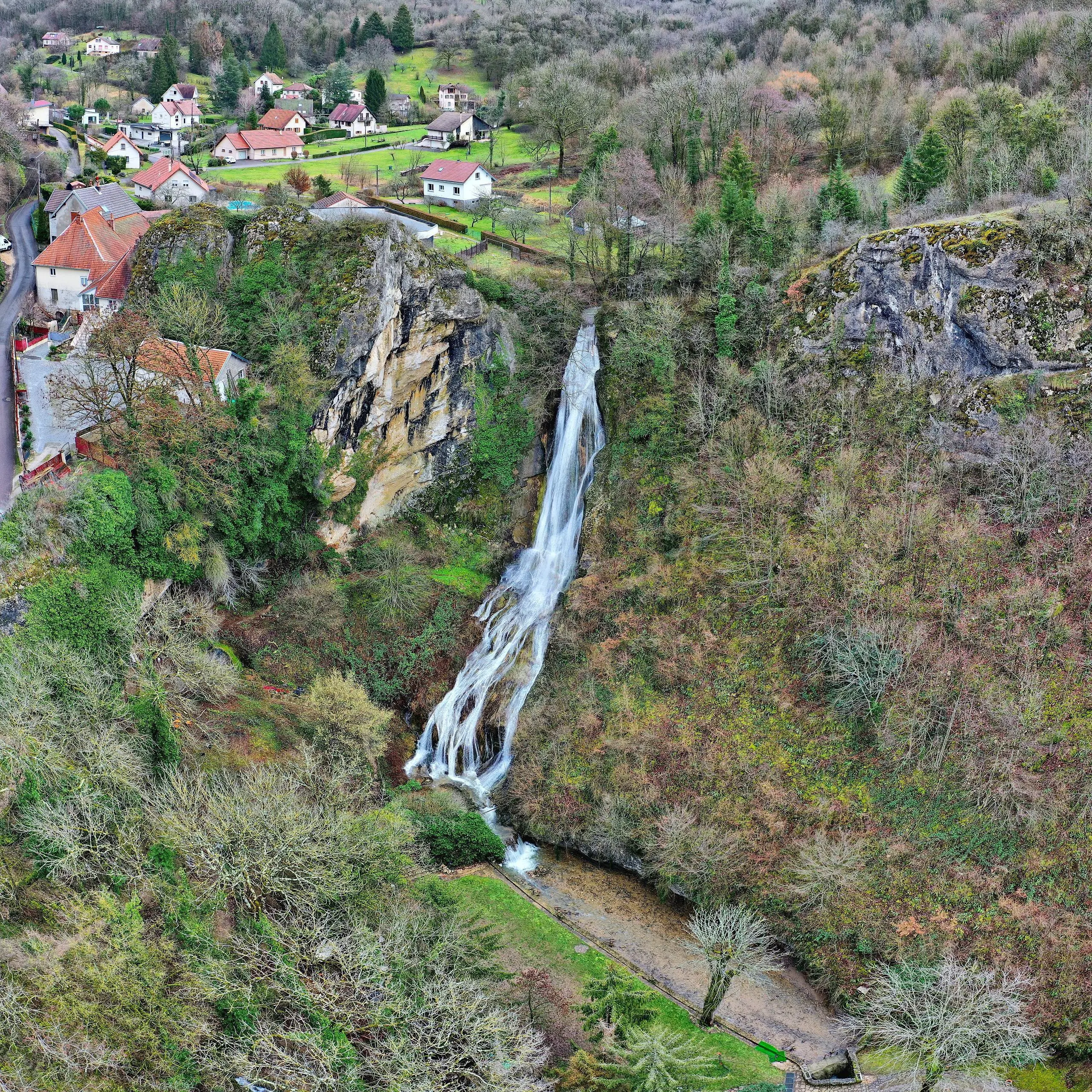
This hiking trail covers 1.3mi starting from Beure, Doubs. The hike is a loop trail and returns to the trailhead. This hike is rated as moderate, plan for about 41m50s to complete it. The route has an elevation gain of 479ft and an elevation loss of 479ft.
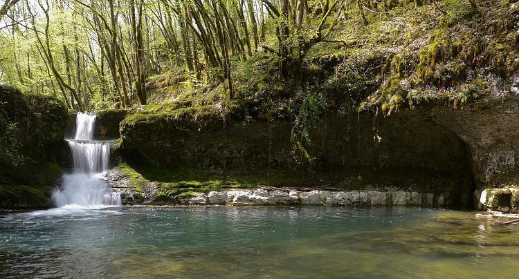
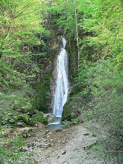
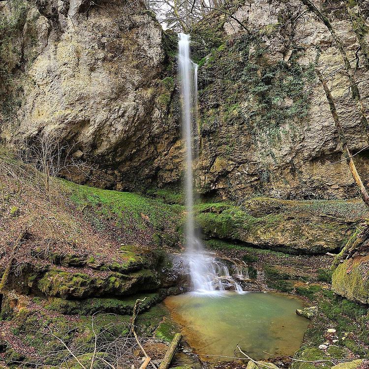
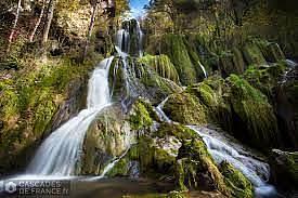
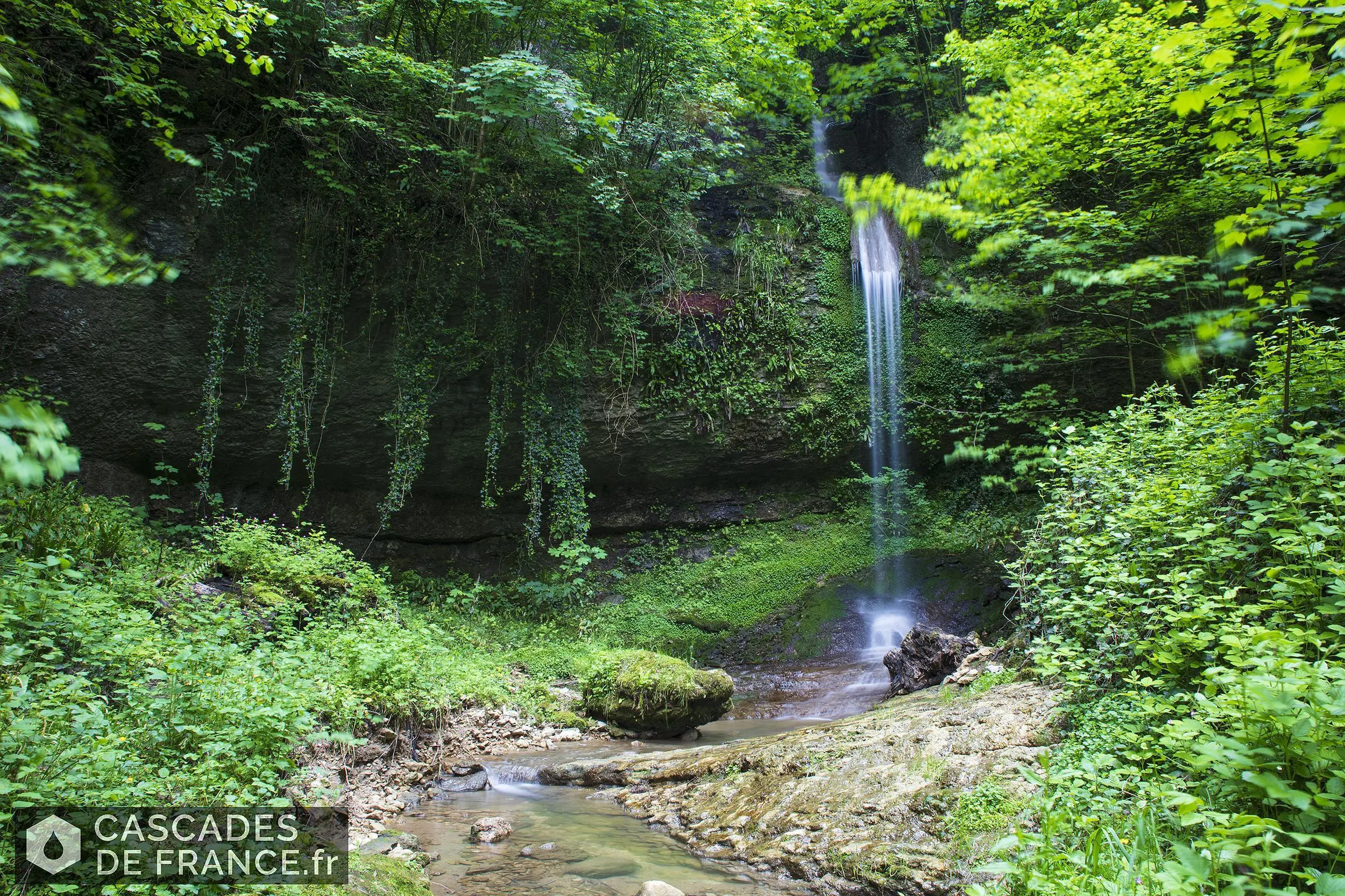
Cascades de Beure
Route details
1.86mph
Speed
327 kcal
Calories burned
14.0%
Avg grade
Loop trail
Route type
817ft
Min altitude
1089ft
Max altitude
Steep climb
Route profile
479ft
Elevation gain
479ft
Elevation loss
817ft
Min altitude
1089ft
Max altitude
How to get there
Trailhead: Rue De Besançon, 25720 Beure
GPS coordinates of the trailhead: 47.20662, 6.00481 / 47°12'23'' N, 6°0'17'' E