This hiking trail covers 2.222mi starting from Aïssey, Doubs. The hike does not return to the trailhead and ends near Chemin Du Champ De Céran, 25110 Dammartin-les-Templiers. This hike is rated as easy, plan for about 1h11m to complete it. The route has an elevation gain of 121ft and an elevation loss of 240ft.
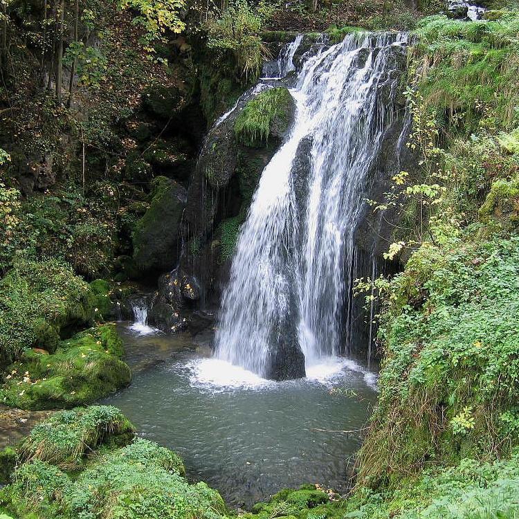
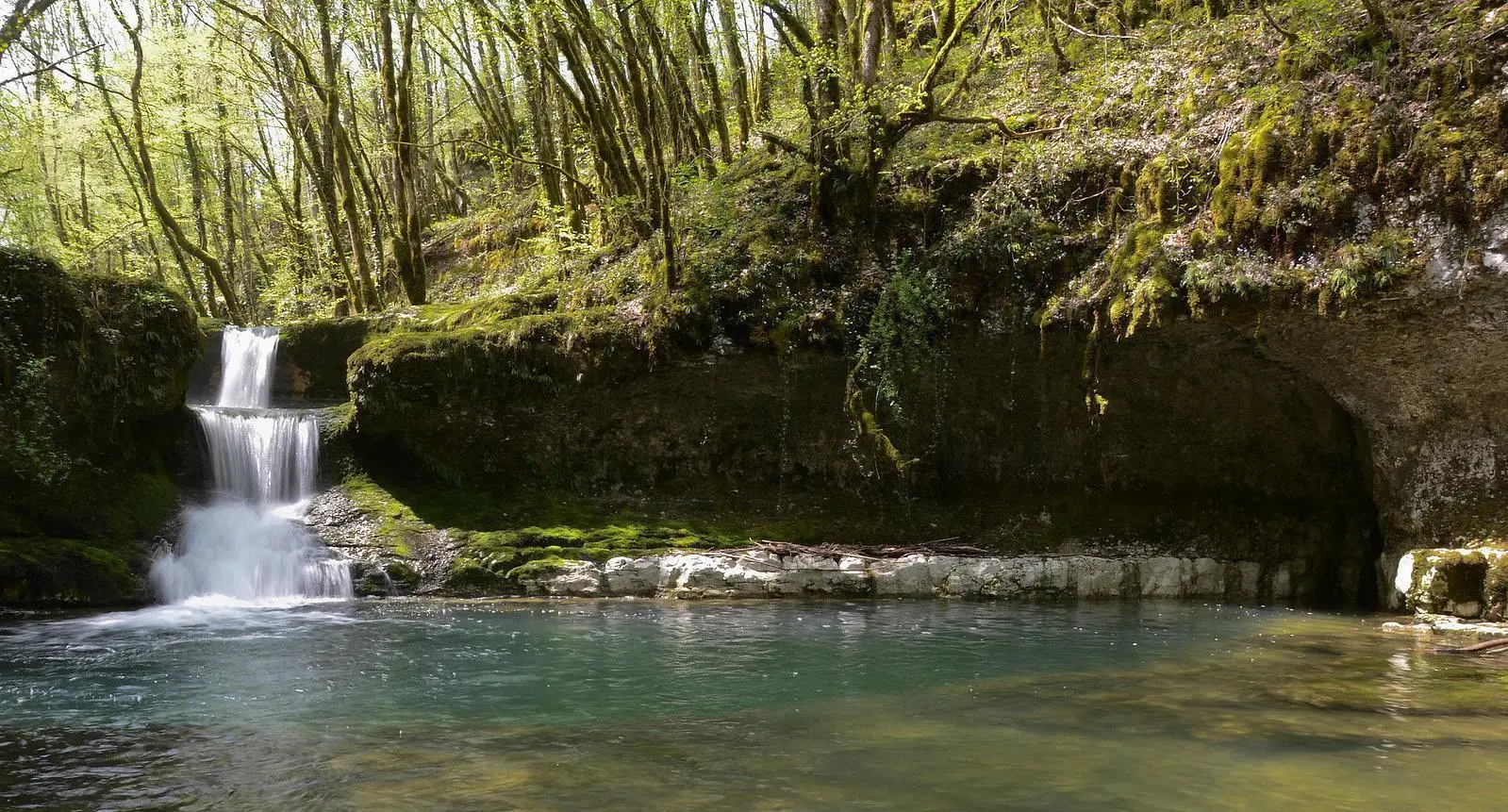
Cuves d'Aissey
Route details
1.86mph
Speed
509 kcal
Calories burned
3.1%
Avg grade
Point to point
Route type
1296ft
Min altitude
1417ft
Max altitude
Route profile
121ft
Elevation gain
240ft
Elevation loss
1296ft
Min altitude
1417ft
Max altitude
How to get there
Trailhead: Rue De L'église, 25360 Aïssey
GPS coordinates of the trailhead: 47.26868, 6.33028 / 47°16'7'' N, 6°19'49'' E