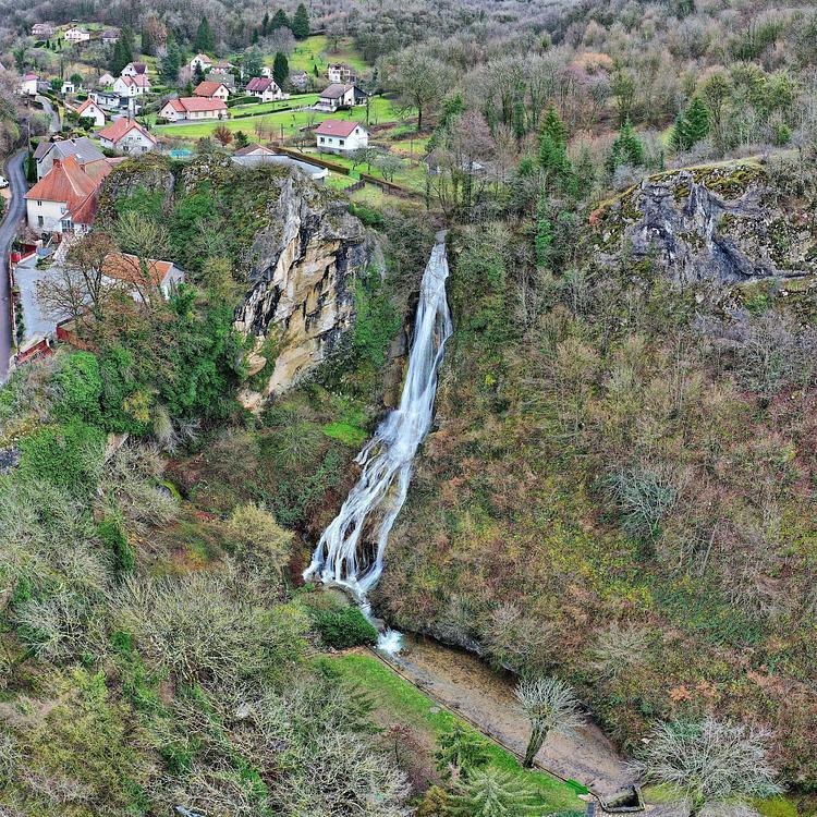
Explore this hiking route of 1.81km starting from Bolandoz, Doubs. The hike does not return to the starting point and ends near 25330 Bolandoz. This hike has no defined difficulty level, plan for about 36m13s to complete it. The route has a positive elevation gain of 111m and a negative elevation loss of 88m.
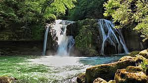
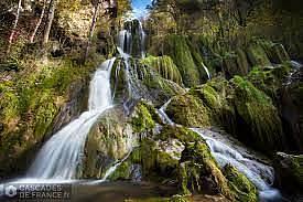
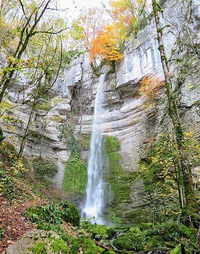
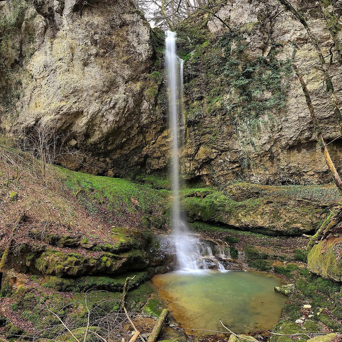
Cascades de Rochanon
Route details
Route profile
111m
Elevation +
88m
Elevation -
679m
Min altitude
753m
Max altitude
How to get there
Route starting point: 25330 Bolandoz
GPS coordinates of the starting point: 47.00368, 6.09897 / 47°0'13'' N, 6°5'56'' E
Calculate the time to reach the starting point from your location or an address