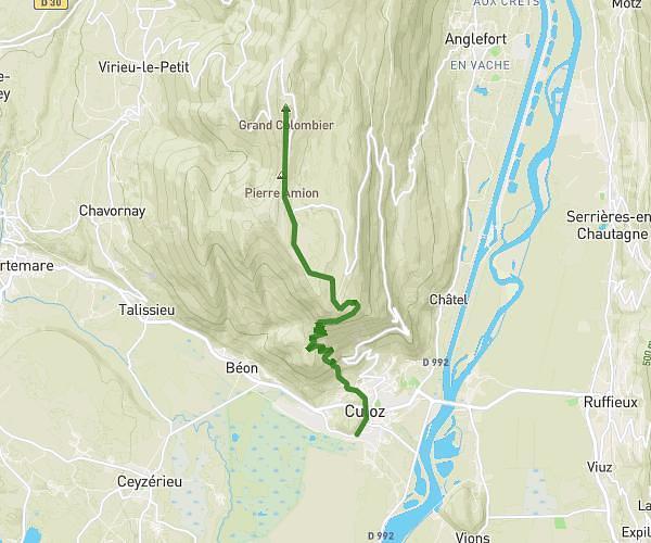
Explore this hiking route of 1.76km starting from Vaux-en-Bugey, Ain. The hike does not return to the starting point and ends near D 60, 01150 Vaux-en-Bugey. This hike has no defined difficulty level, plan for about 35m10s to complete it. The route has a positive elevation gain of 144m and a negative elevation loss of 12m.
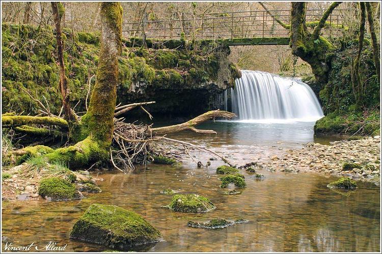
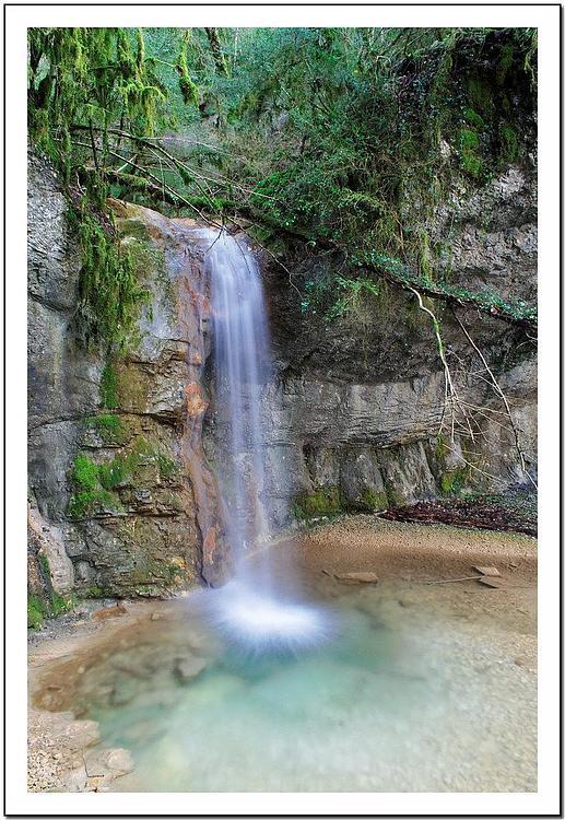
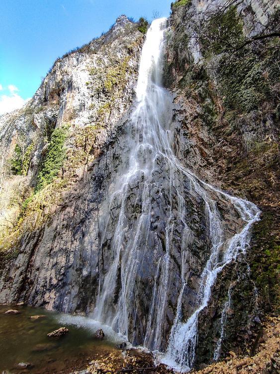
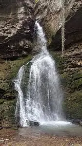
cascades du Buizin
Route details
Route profile
144m
Elevation +
12m
Elevation -
378m
Min altitude
512m
Max altitude
How to get there
Route starting point: D 60a, 01150 Vaux-en-Bugey
GPS coordinates of the starting point: 45.90769, 5.3795 / 45°54'27'' N, 5°22'46'' E
Calculate the time to reach the starting point from your location or an address