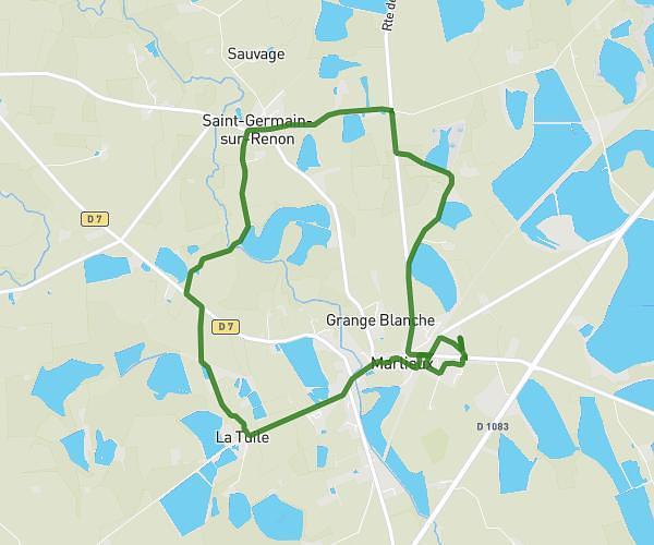
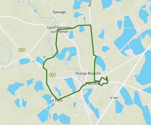
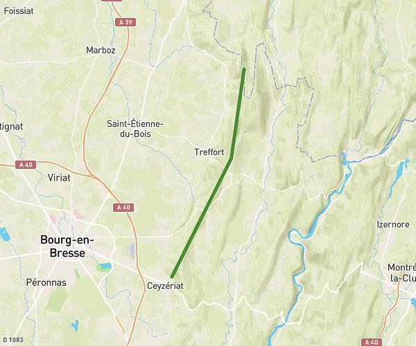
This hiking trail covers 2.824mi starting from Cerdon, Ain. The hike does not return to the trailhead and ends near D 1084, 01450 Cerdon. This hike is rated as moderate, plan for about 1h30m to complete it. The route has an elevation gain of 712ft and an elevation loss of 591ft.
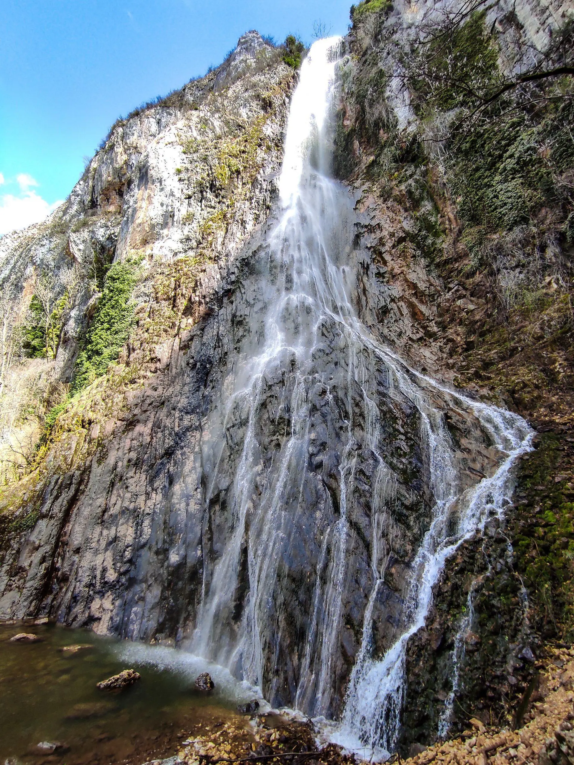
Les deux Cula
Route details
1.86mph
Speed
687 kcal
Calories burned
8.7%
Avg grade
Point to point
Route type
1047ft
Min altitude
1483ft
Max altitude
Steep climb
Route profile
712ft
Elevation gain
591ft
Elevation loss
1047ft
Min altitude
1483ft
Max altitude
How to get there
Trailhead: Place Francisque Allombert, 01450 Cerdon
GPS coordinates of the trailhead: 46.08061, 5.46552 / 46°4'50'' N, 5°27'55'' E