This hiking trail covers 0.559mi starting from Culoz, Ain. The hike does not return to the trailhead and ends near Route Du Grand Colombier, 01350 Culoz, France. This hike is rated as easy, plan for about 18m to complete it. The route has an elevation gain of 361ft and an elevation loss of 7ft.
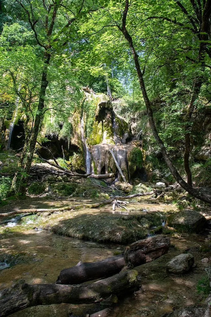
Cascade de la Magnine
Route details
1.86mph
Speed
152 kcal
Calories burned
12.4%
Avg grade
Point to point
Route type
860ft
Min altitude
1214ft
Max altitude
Steep climb
Route profile
361ft
Elevation gain
7ft
Elevation loss
860ft
Min altitude
1214ft
Max altitude
How to get there
Trailhead: 97 Rue De L'église, 01350 Culoz, France
GPS coordinates of the trailhead: 45.85008, 5.78085 / 45°51'0'' N, 5°46'51'' E


