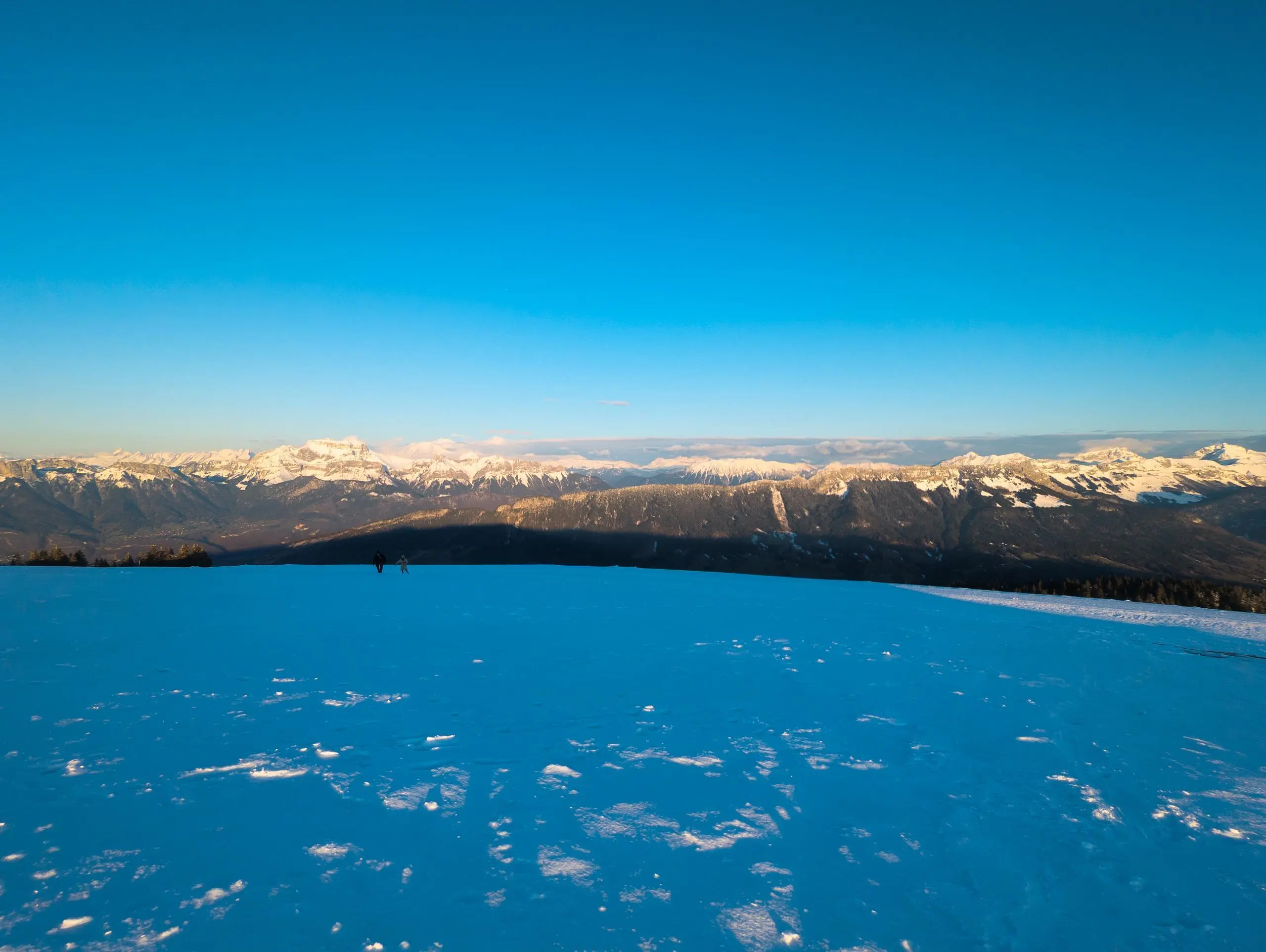
This hiking trail covers 2.509mi starting from Viuz-la-Chiésaz, Haute-Savoie. The hike is a loop trail and returns to the trailhead. This hike is rated as easy, plan for about 26m55s to complete it. The route has an elevation gain of 436ft and an elevation loss of 446ft.
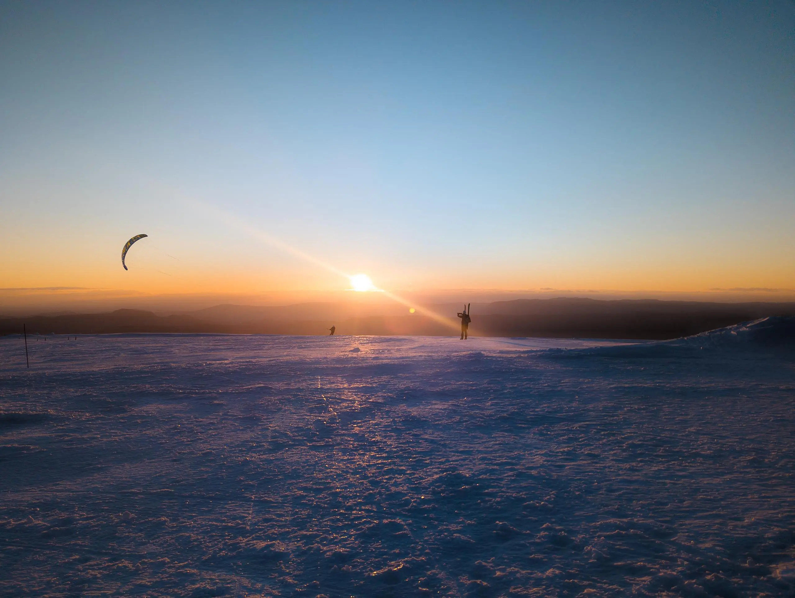
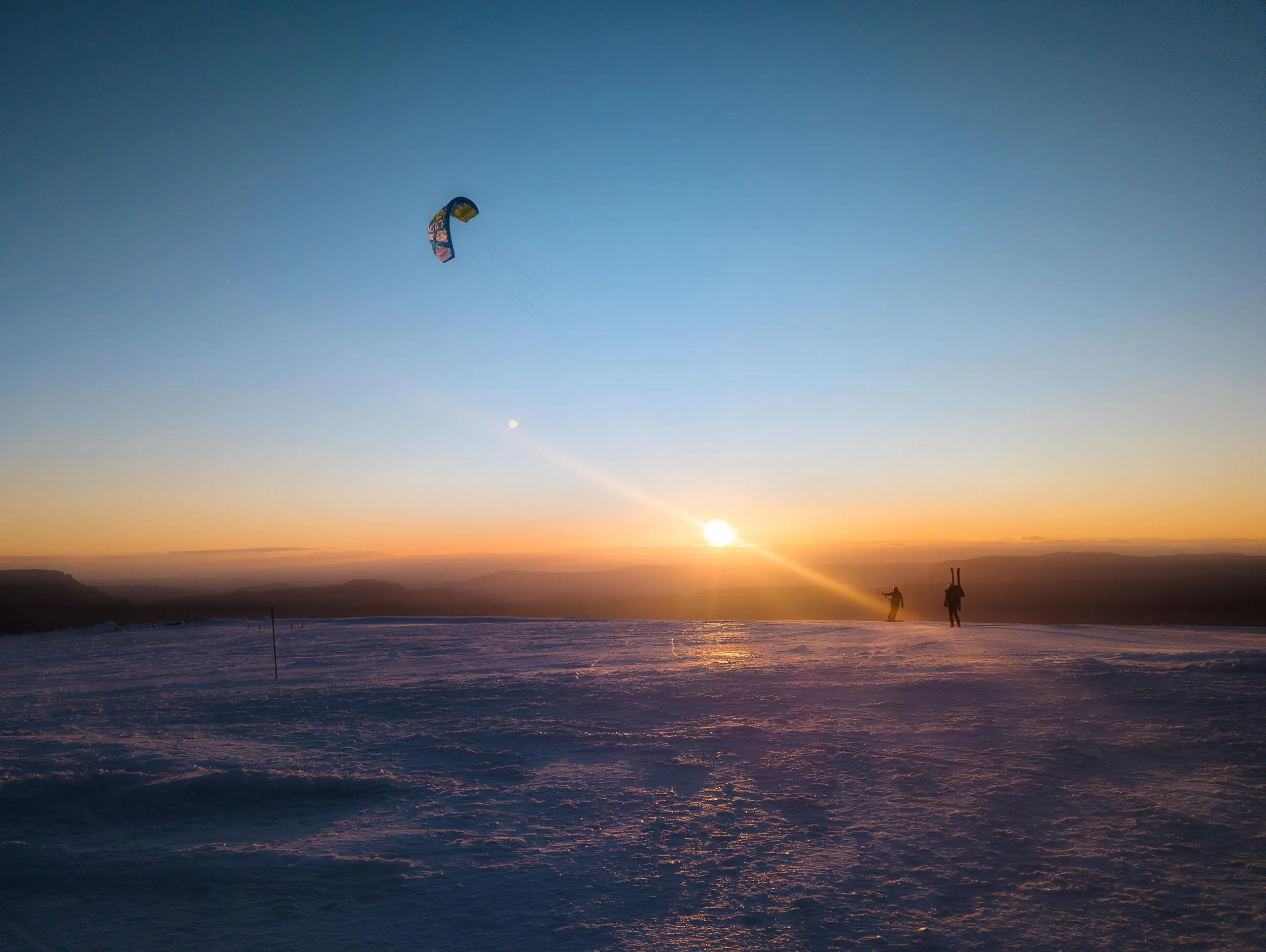
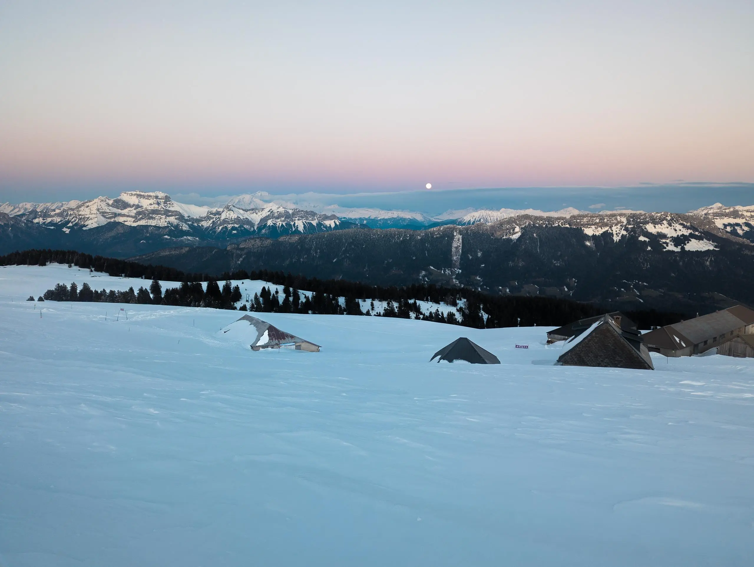
Sommet du Semnoz au coucher du soleil

Route details
5.59mph
Speed
199 kcal
Calories burned
6.7%
Avg grade
Loop trail
Route type
5358ft
Min altitude
5545ft
Max altitude
Route profile
436ft
Elevation gain
446ft
Elevation loss
5358ft
Min altitude
5545ft
Max altitude
How to get there
Trailhead: D 41, 74540 Viuz-la-Chiésaz, France
GPS coordinates of the trailhead: 45.798995, 6.107167 / 45°47'56'' N, 6°6'25'' E


